

Morro Bay
A fishing village wrapped around a volcanic plug—Morro Rock, estuary birdlife, and gateway drives to San Luis Obispo and Hearst Castle country.
Interactive map loading… View on OpenStreetMap
35.3659, -120.8500 · OSM
- Type
- beach
- Region
- Central Coast
- Season
- Best May, June, September
- Access
- Near SBP
About Morro Bay
A fishing village wrapped around a volcanic plug—Morro Rock, estuary birdlife, and gateway drives to San Luis Obispo and Hearst Castle country.
Iconic volcanic plug at the harbor entrance—photogenic from the Embarcadero. Plan timing around crowds and parking—details vary by season and event weekends. Shops, fish markets, and kayak outfitters along the bay. Plan timing around crowds and parking—details vary by season and event weekends. Marina, museum, and trails with bay and rock views. Plan timing around crowds and parking—details vary by season and event weekends. Rugged coastal park south toward Los Osos—tide pools and bluff hikes. Plan timing around crowds and parking—details vary by season and event weekends.
Know before you go
- Shore access: Morro Strand State Beach offers dune-backed sand with Morro Rock views; Embarcadero frontage is harbor not swim beach.
- Swimming limits: Estuary mouth currents and cold water—waders use calm mornings; surfers respect rock shadow breaks.
- Parking: State beach day-use and Embarcadero lots for separate activities—do not block working waterfront driveways.
- Water quality: Do not assume daily swim suitability—follow lifeguard guidance and posted advisories rather than guessing conditions.
- Forecasts: Use the live National Weather Service panel on this page for wind, fog, and storm timing before you commit to a long beach day.
- Wildlife: Keep distance from seals, sea lions, and nesting birds—fines and closures protect sensitive stretches.
How to get to Morro Bay
Morro Bay sits on Highway 1 where a sheltered bay meets the ocean in San Luis Obispo County, northwest of San Luis Obispo city.
San Luis Obispo County Regional Airport (SBP) is the first listed airport—about 25 minutes by car in typical conditions; add buffer for holidays.
Use the live National Weather Service panel on this page when scheduling outdoor time—microclimates shift quickly across Morro Bay and nearby ridges or shoreline.
San Luis Obispo County Regional Airport (SBP) is the first listed airport—about 25 minutes to the coast in typical traffic; add buffer for summer beach weekends.
Beach gear, chairs, and coolers are easiest with a car—transit works in some metro coast zones, but stair access and lot capacity still favor early arrival on sunny days in Morro Bay.
- Fly into San Luis Obispo (SBP) SBP is the closest commercial airport—about 25 minutes south via Highway 1 or 101 connectors. Allow extra time on holiday weekends, and confirm hours or access rules the morning you travel.
- Drive Highway 1 The Embarcadero waterfront is signed from the highway; Morro Rock dominates the harbor mouth. Allow extra time on holiday weekends, and confirm hours or access rules the morning you travel.
- From the Bay Area or LA U.S. 101 to San Luis Obispo then Highway 1 north is the usual approach—allow extra time for scenic 1 traffic in summer.
- Park along the Embarcadero Public lots serve kayak rentals, restaurants, and the rock viewpoint—weekends fill midday. Allow extra time on holiday weekends, and confirm hours or access rules the morning you travel.
Plan your visit
Best months
May, June, September, October
Typically the most comfortable months for weather and crowds.
Nearest airport
San Luis Obispo County Regional Airport (SBP)
About 25 minutes by car, depending on traffic.
Highlight
Beach · Coastal · Central Coast
A fishing village wrapped around a volcanic plug—Morro Rock, estuary birdlife, and gateway drives to San Luis Obispo and Hearst Castle country.
Plan one to two days for waterfront walks, estuary kayaking, and seafood meals. Add a day for Cambria, Hearst Castle, or San Luis Obispo wine country.
Best time: Late spring and fall bring milder fog patterns than deep summer mornings.
Who it’s for: Birders, casual kayakers, seafood lovers, and Highway 1 road trippers.
Time and pacing: Budget two days around Morro Bay when you want both anchor sights and a relaxed neighborhood meal without rushing between parking lots.
Seasonal rhythm: Late spring and early fall often clear coastal fog earlier than deep summer mornings on Highway 1.
Who it’s for: Seafood lovers, harbor kayakers, and slow coastal drivers between San Francisco and Los Angeles.
Budget tips: Midweek stays and morning activity blocks stretch time and money; check event calendars before assuming quiet streets.
Pairing trips: Use regional highway links on this site to combine nearby towns without doubling back across rush-hour corridors.
Beach day pacing: Plan one primary stretch of sand per half-day—parking and stair access eat time when you hop coves. Add a second beach only if you confirmed separate lots or transit links.
Shore access: Morro Strand State Beach offers dune-backed sand with Morro Rock views; Embarcadero frontage is harbor not swim beach.
Swimming and surf: Estuary mouth currents and cold water—waders use calm mornings; surfers respect rock shadow breaks.
Parking: State beach day-use and Embarcadero lots for separate activities—do not block working waterfront driveways.
Seasonal rhythm: Late spring and early fall often clear fog earlier than midsummer on Highway 1 beach towns.
Who it’s for: Seafood lovers, pier walkers, and slow coastal drivers linking San Francisco and Los Angeles.
Budget tips: Pack shade, water, and snacks—concession prices spike on busy pier weekends. Midweek mornings stretch free beach time without paid lot turnover stress.
For the broader town guide, see Morro Bay.
Morro Bay: FAQ
What is Morro Bay famous for?
Morro Rock, harbor seafood, estuary wildlife, and its stop on the Highway 1 Central Coast route. Cross-check drive times and airports listed on this Morro Bay page when building your itinerary.
Can you climb Morro Rock?
No— the rock is closed to climbing to protect cultural resources and habitat. Cross-check drive times and airports listed on this Morro Bay page when building your itinerary.
How far is Morro Bay from San Luis Obispo?
About 13 miles northwest on Highway 1—often 20–30 minutes by car. Cross-check drive times and airports listed on this Morro Bay page when building your itinerary.
What airport is closest?
San Luis Obispo County Regional (SBP) is closest among listed airports. Cross-check drive times and airports listed on this Morro Bay page when building your itinerary.
Is Morro Bay good for kayaking?
Calm bay waters suit beginners; check wind and tide forecasts before paddling. Cross-check drive times and airports listed on this Morro Bay page when building your itinerary.
When is the best time to visit?
May–June and September–November often balance mild weather with fewer foggy mornings than mid-summer.
What should visitors expect in Morro Bay this fall?
September falls in the stronger window for Morro Bay (May, June, September, October). Expect typical fall conditions—pack layers, book popular lodging early for weekends, and check live National Weather Service forecasts on this page before outdoor plans. Crowds and rates are usually higher around holidays.
Where do visitors park for Morro Bay beaches?
State beach day-use and Embarcadero lots for separate activities—do not block working waterfront driveways.
Which Morro Bay beach access points are public?
Morro Strand State Beach offers dune-backed sand with Morro Rock views; Embarcadero frontage is harbor not swim beach.
Are dogs allowed on Morro Bay beaches?
Rules vary by beach and season—some stretches allow leashed dogs mornings only, others prohibit pets entirely. Read city or state park signs at the stairway you use rather than assuming one rule for the whole coast.
More places near Central Coast



Nearby beaches
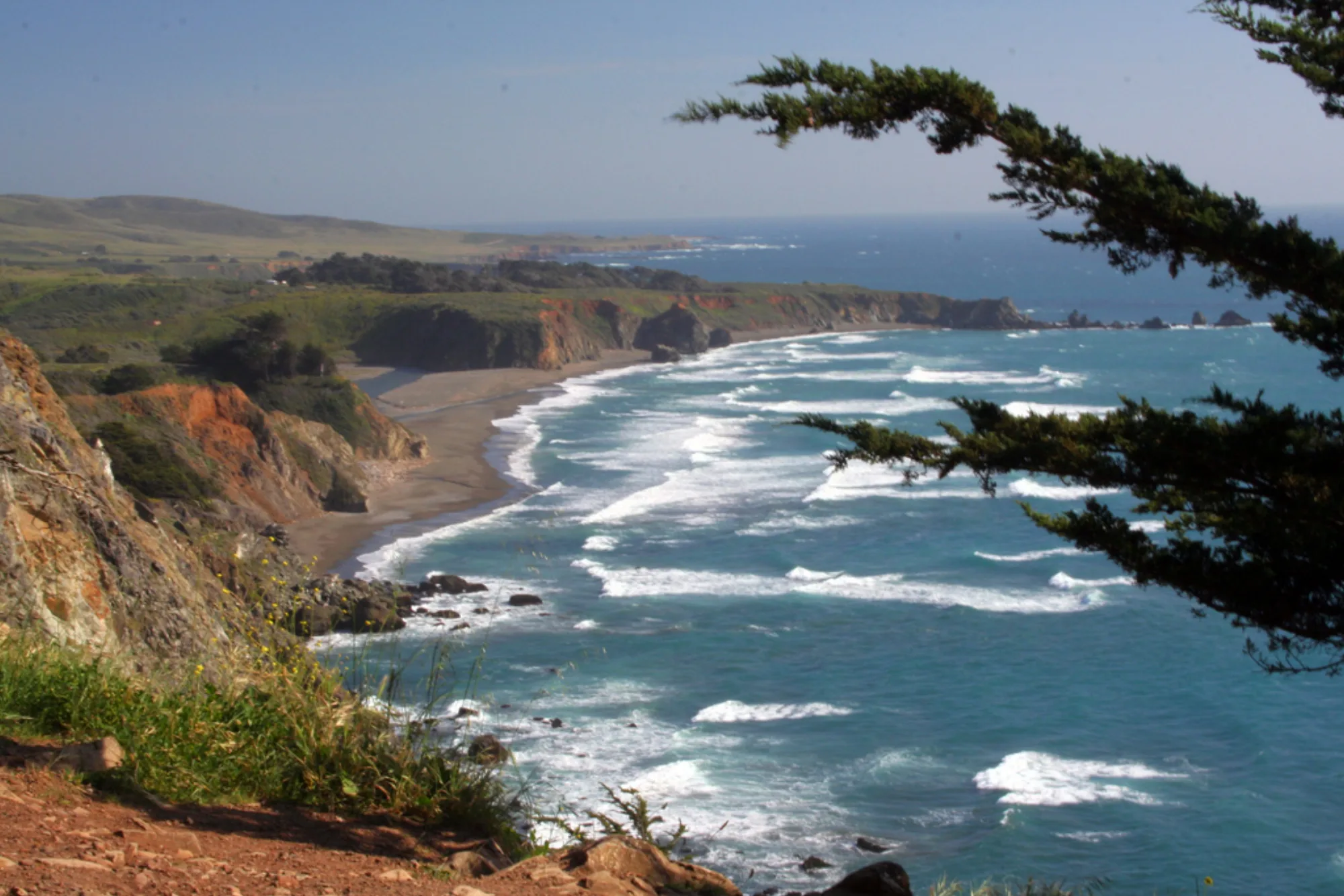
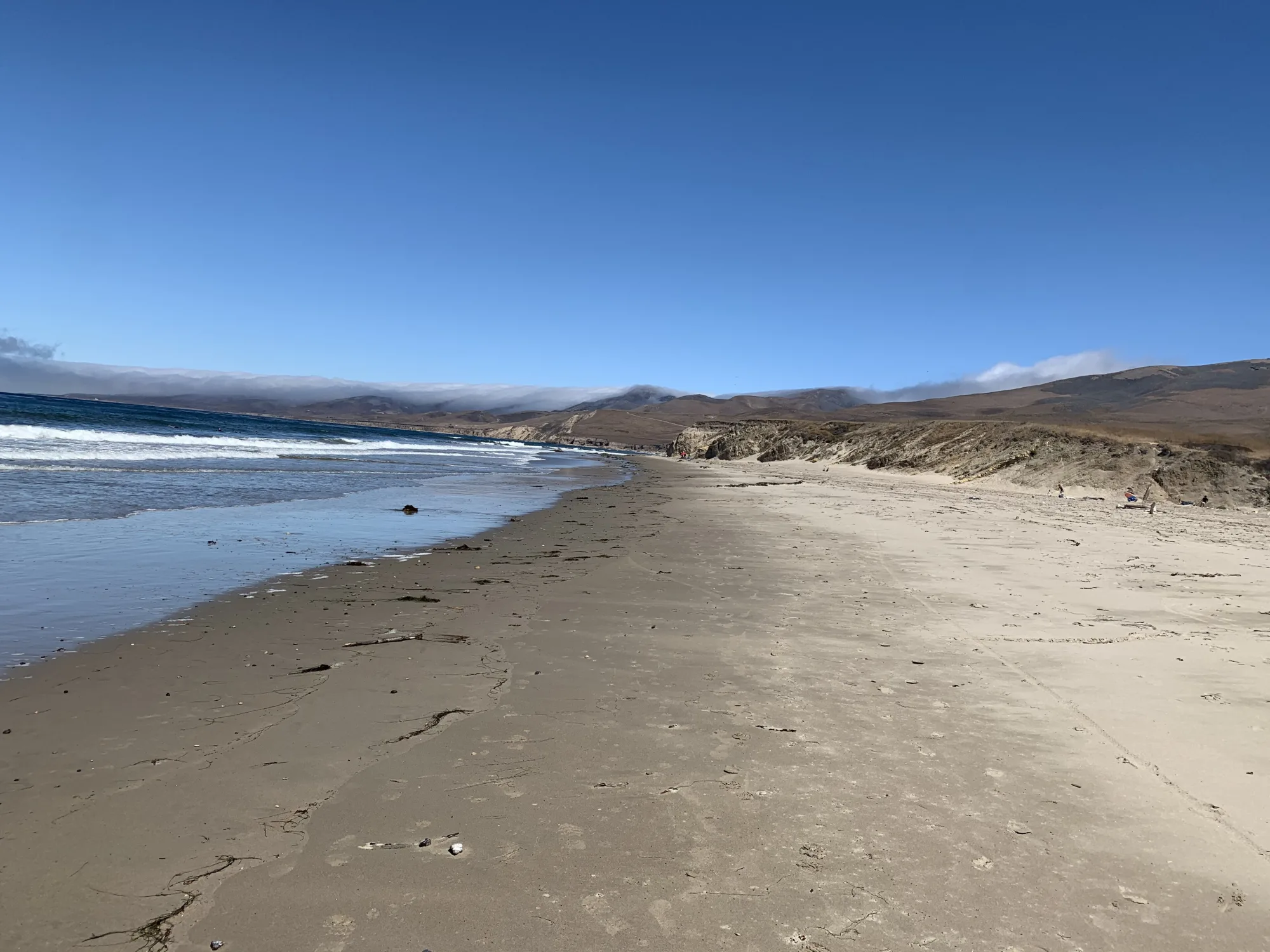
Photo: Wikimedia Commons / Derek Liang derekrliang