Highway 1 through Big Sur is California’s celebrity scenic drive—but it is not the only one worth a tank of gas. This TripCali guide outlines ten classic road trips from Shasta Cascade to Orange County and the desert, with mileages, prime seasons, and the stops that make each route distinct.
Most work as a long day or a weekend if you sleep at the far end. Download offline maps, check Caltrans for slides and snow, and leave white space for farm stands and overlooks. Listed roughly north to south.
1. Redding to Lassen Volcanic National Park (~188 miles)
Prime seasons: spring and summer. Start in Redding, swing by Shasta Lake for water sports, then catch views of 14,162-foot Mount Shasta—John Muir wrote that first sight made his “blood turn to wine.” Add Castle Crags State Park spires, then Highway 89 along the Volcanic Legacy Scenic Byway to 129-foot Burney Falls at McArthur-Burney Falls Memorial State Park. Finish toward Lake Almanor and Lassen’s mud pots and fumaroles. This is Shasta Cascade secret-keeping at its best.
2. Highway 1 from San Francisco to Fort Bragg (~175 miles)
Prime season for whales: November through April. Cross the Golden Gate to Sausalito, hit Muir Woods, Point Reyes beaches and cliffs, then weave wine-country edges before the wilder Mendocino coast: Point Arena-Stornetta, Mendocino Headlands, the town of Mendocino, and Fort Bragg’s MacKerricher State Park for seals, whales, and Glass Beach. Fog and wind are features; pack layers.
3. Napa Valley’s Silverado Trail (~29 miles)
Year-round. Built in 1852 to link Napa and Calistoga, the Silverado Trail runs parallel to busier Highway 29 with easier access to wineries such as Reynolds Family, Clos du Val in Stags Leap, and Mumm Napa for sparkling. Sleep at a valley hotel if you want a leisurely tasting pace—Auberge, Solage, and Meadowood are classic luxury anchors when budgets allow.
4. Lake Tahoe to Lone Pine or Yosemite via U.S. 395 (~215–234 miles)
Lone Pine route is year-round; Tioga Pass (Highway 120) into Yosemite typically opens May–November weather permitting. From South Lake Tahoe and Emerald Bay, drop toward Mono Lake’s tufa towers, Mammoth Lakes for seasonal sports, Bishop for Erick Schat’s sheepherder bread, and Lone Pine’s Alabama Hills near Mobius Arch. Divert on Tioga for high-country Yosemite when the pass is open—otherwise continue desert-side.
5. Sierra Vista Scenic Byway (~90 miles)
June through October. Forest roads near North Fork (northeast of Fresno) traverse dirt segments and old Sierra character: Jesse Ross Cabin from the 1860s, the ancient Bull Buck Tree sequoia, granite domes, and pie at Jones General Store. High-clearance helps on rough stretches; confirm forest road status after storms.
6. Fresno Blossom and Fruit Trails (~62 miles)
February through September. East of Highway 99, orchards bloom in pastels then fruit stands fill with harvest. Loop Sanger, Orange Cove, Reedley, Kingsburg, and Fowler. Stop at Simonian Farms’ red barn, the Orange Blossom Trail, Cedar View Winery’s Alicante Bouschet reds, Selma (Raisin Capital), and Reedley’s Hillcrest Farm. A Central Valley contrast to coast drives.
7. Highway 101 from Malibu to Lompoc (~120 miles)
Year-round. Ride the Santa Monica Mountains edge through Malibu, Oxnard, and Ventura with Channel Islands views offshore, then Santa Barbara beaches such as El Capitán, Refugio, or Gaviota. Inland ranchlands lead to Lompoc’s flower fields and the Wine Ghetto tasting rooms for Pinot-focused sipping.
8. Rim of the World Scenic Byway (~117 miles)
Year-round. Highway 18 clings to San Bernardino Mountains cliffs toward Big Bear Lake—“Rim of the World” views for a reason. Detour to Lake Arrowhead, walk Heaps Peak Arboretum’s Sequoia Trail, and climb toward Keller Peak Fire Lookout for ocean-on-clear-day horizons. Big Bear finishes with lake sports or snow play by season.
9. Surf Safari through Orange County (~30 miles)
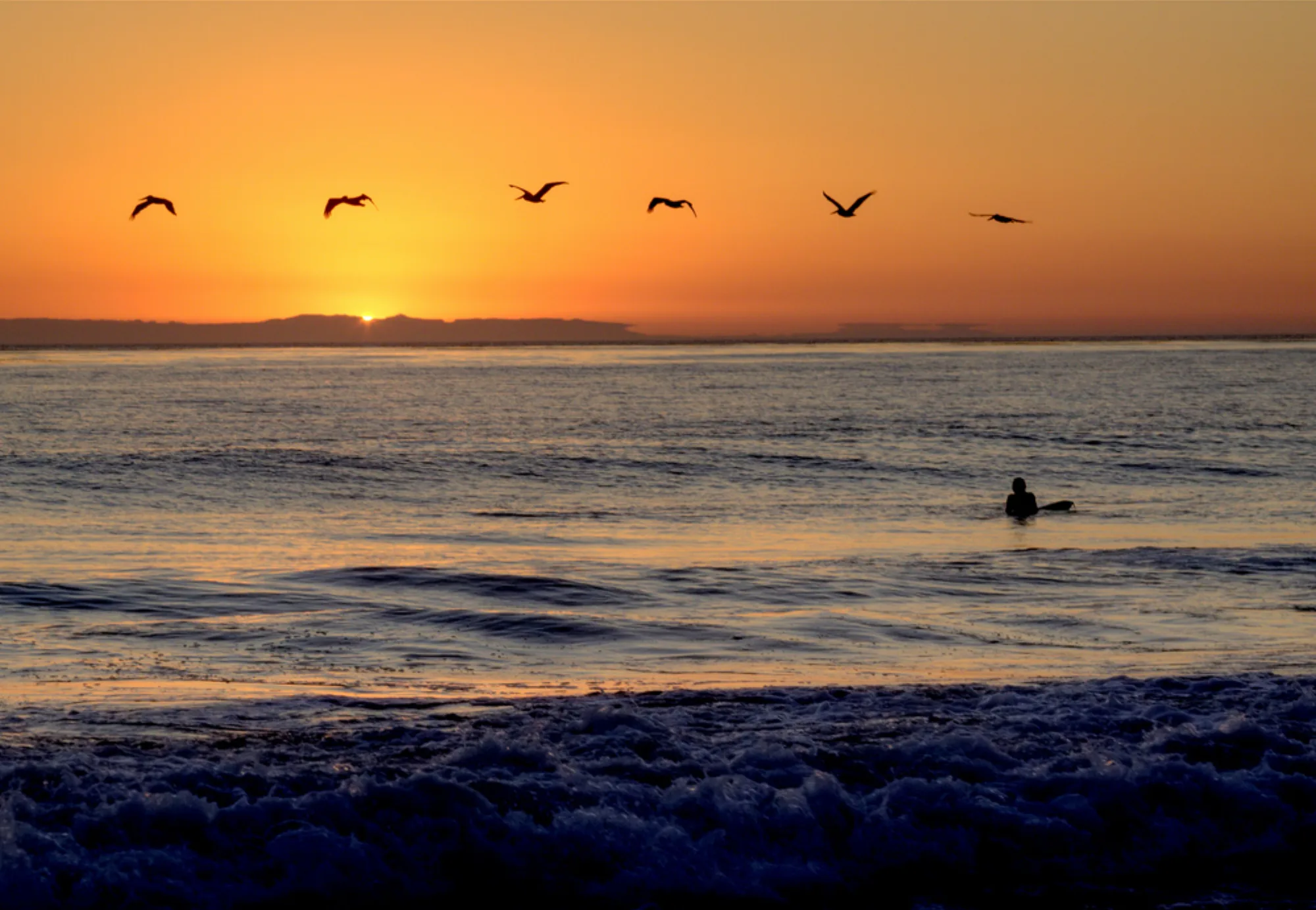
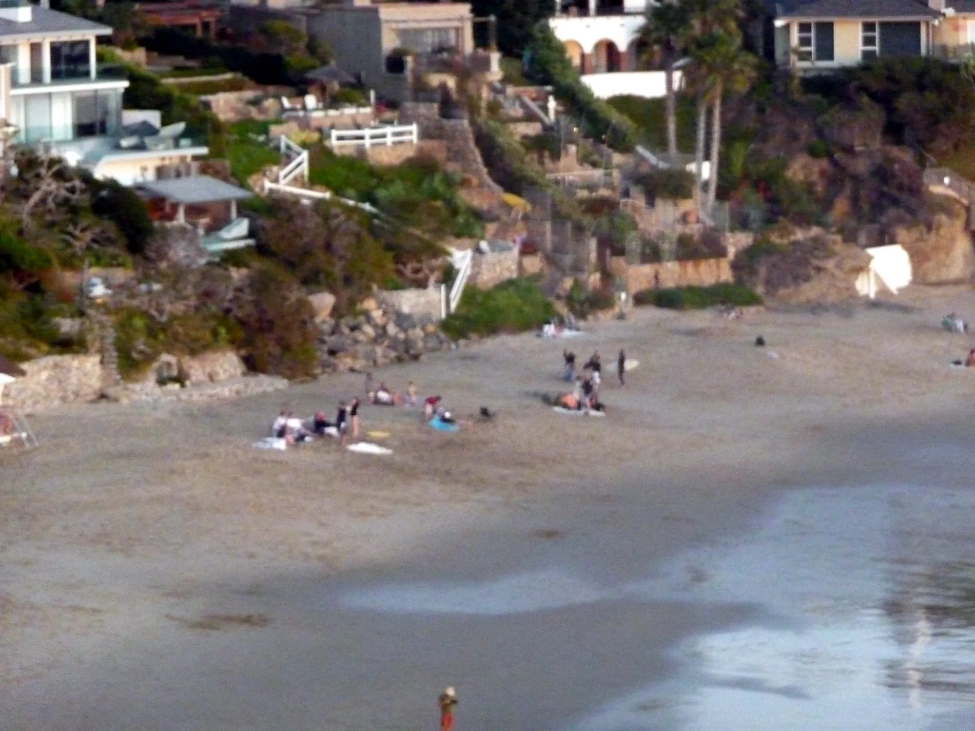
Year-round. Start at Dana Point Harbor (winter whale watching), north through gallery-lined Laguna Beach and Pageant of the Masters season, Crystal Cove’s sand, Newport Harbor with Balboa Bars and frozen bananas, then Huntington Beach Pier and Surf City USA energy. Short mileage, high postcard density.
10. Beach-to-Desert Drive from San Diego (~90 miles)
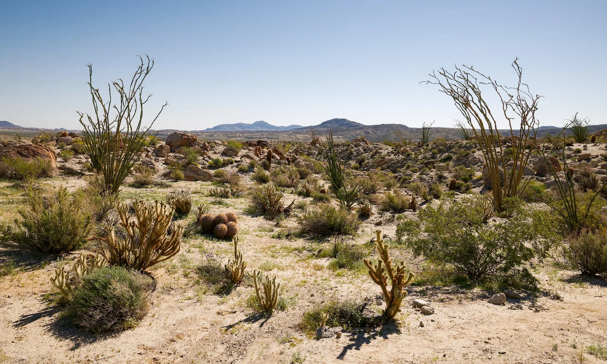
Late winter and spring for wildflowers. From La Jolla or Del Mar, take SR-56 to Highway 67 through Ramona farm stands, then Highway 78 into the Cuyamacas toward Julian’s apple pies (Julian Cafe and Bakery and peers). Descend into Anza-Borrego Desert State Park’s bloom windows and Borrego Springs’ International Dark Sky stargazing. Overnight at desert lodgings such as La Casa del Zorro when you want sunrise light.
Fuel and food strategy keeps scenic days pleasant. Fill the tank before remote stretches toward Lassen, Sierra Vista dirt segments, or Anza-Borrego. Carry water even in “short” mountain loops. On wine routes, eat a real lunch before tasting flights so sugar and alcohol do not flatten the afternoon overlooks.
Photography travelers should watch light direction: east-facing Sierra mornings on 395, west-facing coast evenings on Highway 1 segments, and desert golden hour on the San Diego–Borrego return. If fog erases a coast drive, swap to an inland fruit-trail or wine-ghetto day and save cliffs for clearer air.
Pacing tips for all ten
- One scenic primary + one town meal beats four rushed overlooks.
- Check snow chains, slide closures, and fire restrictions before Sierra and forest routes.
- Designate a sober driver on wine trails; use spittoons and lodging in-valley.
- Continue with TripCali road trip hubs for longer itineraries.
Big Sur’s Highway 1 remains iconic when open—use it as a bonus eleventh option after storms and construction clear. These ten simply prove California’s scenic inventory is wider than one coastal cliff road.
TripCali publishes independent travel notes. Mileages are approximate; verify road status and seasonal access before you go.
People also ask
What are scenic California road trips besides Highway 1?
Strong alternatives include Redding to Lassen, San Francisco to Fort Bragg, the Silverado Trail, U.S. 395 from Tahoe, Sierra Vista Scenic Byway, Fresno fruit trails, Malibu to Lompoc, Rim of the World, Orange County’s surf corridor, and San Diego to Anza-Borrego.
Which California road trip is best for wine tasting?
Napa’s Silverado Trail is purpose-built for winery hopping with less congestion than Highway 29; Lompoc’s Wine Ghetto also suits Pinot-focused stops on the Malibu–Lompoc drive.
When is Tioga Pass open for Yosemite access from Highway 395?
Highway 120 via Tioga Pass is typically open May through November depending on snow—always confirm current NPS and Caltrans status.
Where can I see volcanic scenery on a California road trip?
The Redding-to-Lassen route along the Volcanic Legacy Scenic Byway includes Burney Falls approaches and Lassen’s geothermal features.
What is a good short scenic drive in Southern California?
Orange County’s roughly 30-mile surf safari from Dana Point through Laguna, Crystal Cove, Newport, and Huntington packs beaches and piers into a half day or full day.
When should I drive to Anza-Borrego for wildflowers?
Late winter and spring are prime; bloom intensity varies by rainfall. Pair with Julian pie stops and dark-sky stargazing in Borrego Springs.
Do these road trips need a high-clearance vehicle?
Most are standard paved highways. Sierra Vista Scenic Byway can include dirt forest roads—check conditions and clearance needs before you go.
How many days do I need for the Tahoe to Lone Pine drive?
Ambitious drivers can do it in a long day, but one or two nights (Mammoth or Bishop) makes overlooks, hikes, and Alabama Hills sunrise realistic.
Photo: Wikimedia Commons