
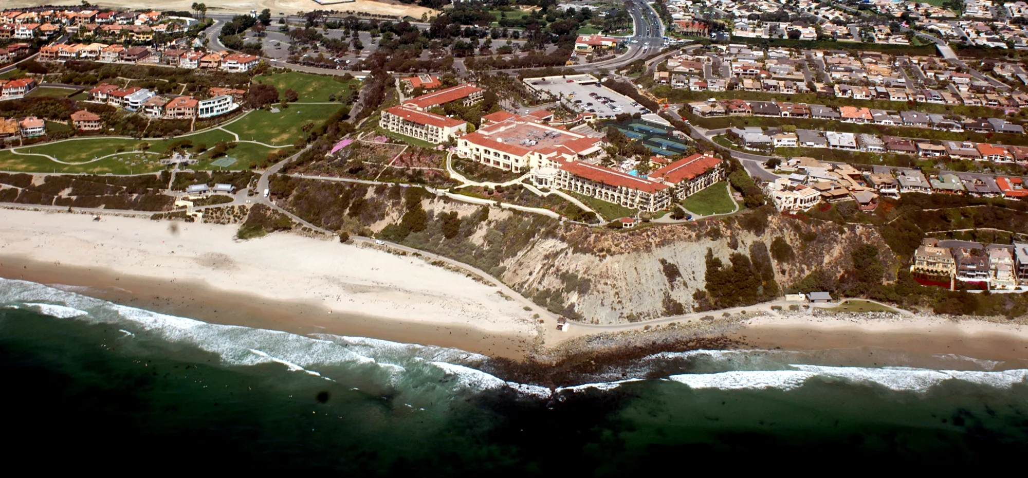
Dana Point
Orange County’s bluff-top whale-watching capital—harbor marinas, surf breaks, tall-ship heritage, and Highway 1 scenery between LA and San Diego.
Interactive map loading… View on OpenStreetMap
33.4672, -117.6981 · OSM
- Type
- city
- Region
- Orange County
- Season
- Best March, April, May
- Access
- Near SNA
About Dana Point
Orange County’s bluff-top whale-watching capital—harbor marinas, surf breaks, tall-ship heritage, and Highway 1 scenery between LA and San Diego.
Harbor departures year-round with species shifts by season—grays in winter, blues in summer when conditions align. Clifftop walk with harbor and Pacific panoramas—land-based whale scanning without boarding boats. Marine science campus with exhibits and sailing programs—family-friendly harbor education stop. Camping, picnics, and beginner surf on wide Orange County sand—arrive early for summer parking.
Know before you go
- Boat reservations: Holiday whale weekends sell out—book online early.
- Seasickness: Open ocean swells affect sensitive passengers—even on large catamarans.
- Tidepools: Explore only at low tide and never turn away from waves.
- Parking: Harbor and state beach lots fill by mid-morning in summer.
- Marine mammals: Federal law requires distance from whales and dolphins—let captains handle approach rules.
How to get to Dana Point
Dana Point sits where Pacific Coast Highway and I-5 meet in southern Orange County, about 60 miles south of Los Angeles. John Wayne (SNA) and Long Beach (LGB) are listed airports; harbor parking serves whale-watch departures and Doheny Beach access.
- Fly into SNA or LGB Either airport feeds coastal drives south on I-5 or scenic PCH—weekend traffic stacks near the harbor.
- Exit at Dana Point Harbor Island Way and Golden Lantern reach marinas, Ocean Institute, and charter docks—arrive 30 minutes before boat check-in.
- Walk the Bluff Top Trail Coastal path links headland viewpoints with harbor overlooks—sunset strolls without driving between vistas.
- Use beach shuttles in summer Doheny and Salt Creek lots fill early—check city parking apps on holiday weekends.
Plan your visit
Best months
March, April, May, June
Typically the most comfortable months for weather and crowds.
Nearest airport
John Wayne Airport (SNA)
About 29 minutes by car, depending on traffic.
Highlight
Harbor · Whale watching · Orange County
Orange County’s bluff-top whale-watching capital—harbor marinas, surf breaks, tall-ship heritage, and Highway 1 scenery between LA and San Diego.
Plan a whale-watch day with harbor lunch and tidepool time, or a weekend pairing Doheny camping, surf lessons at Salt Creek, and San Juan Capistrano mission history nearby.
Marine wildlife: Deep offshore canyons funnel nutrients that attract dolphins and whales year-round—grays dominate winter migrations while blues and humpbacks appear in warmer months depending on conditions. Land-based watchers use bluff trails with binoculars when seas are rough.
Harbor life: Dana Point Harbor mixes sportfishing charters, sailing schools, and the Ocean Institute’s marine education campus. Tall-ship festivals and pirate-themed events occasionally animate the docks when scheduled.
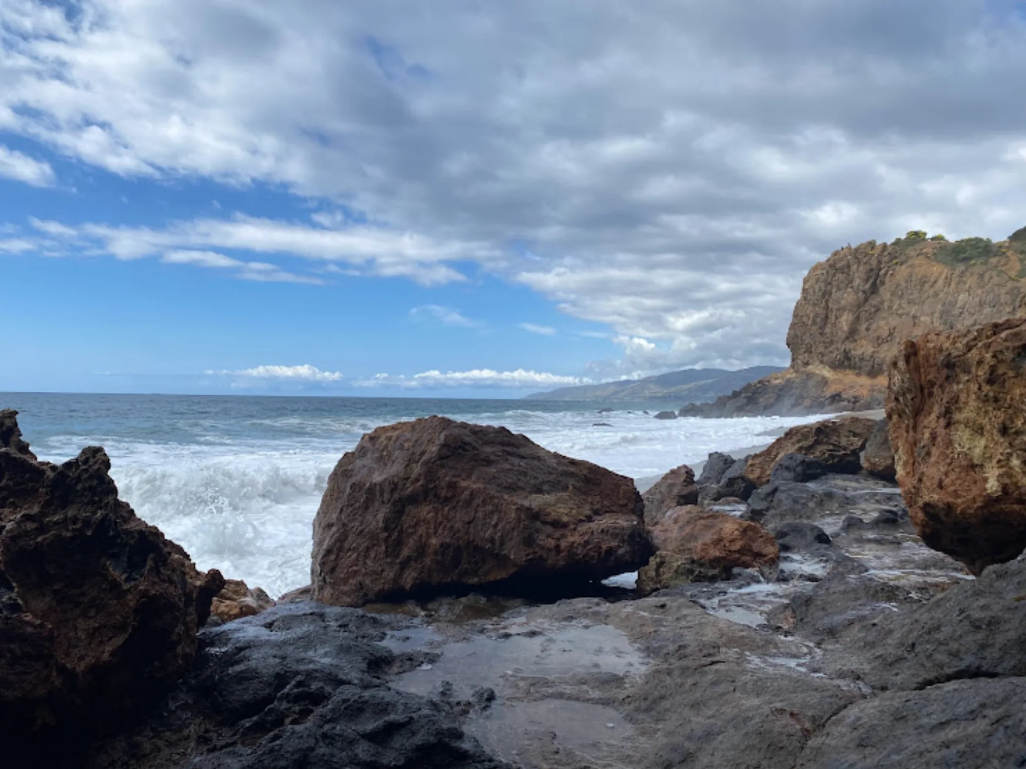
Beaches: Doheny State Beach offers broad sand and beginner surf; Salt Creek draws more experienced wave riders. Tidepools appear at low tides below headlands—watch surf and respect marine protected areas.
Who it’s for: Families wanting gentle harbor energy, wildlife enthusiasts, surfers, and PCH road trippers between LA and San Diego. Morning fog can linger—afternoons often clear for boat trips.
Neighboring stops: San Clemente pier tacos and Laguna art galleries sit minutes north; San Juan Capistrano’s mission lies inland for a history half-day.
Dana Point: FAQ
Why is Dana Point famous for whales?
Offshore topography concentrates marine life, supporting consistent whale- and dolphin-watching trips from the harbor.
When is the best whale watching in Dana Point?
Gray whales peak roughly November–April; blue whales appear in summer months when sightings vary by year.
How far is Dana Point from Los Angeles?
About 60 miles south—60–90 minutes by car depending on traffic.
What airport is closest?
John Wayne (SNA) in Santa Ana is the nearest major airport.
Can you see whales from shore?
Yes from bluff trails with binoculars—boats get closer views when seas allow.
Is Dana Point good for families?
Harbor institutes, gentle beaches, and harbor dining suit kids—supervise tidepool and surf zones.
How many days do you need?
One day covers a whale trip and beach time; two days add camping at Doheny and mission visits.
What is the Ocean Institute?
Nonprofit marine education center on the harbor with programs and exhibits for all ages.
Is Dana Point on Highway 1?
Pacific Coast Highway runs through the area—scenic drives link to Laguna Beach and San Clemente.
What should visitors expect in Dana Point this fall?
September is outside the peak comfort months often listed for Dana Point (March, April, May, June). Early fall still offers warm harbor days and transitioning whale populations—confirm what species operators expect. Check the live National Weather Service forecast on this page before bluff hikes and boat departures.
More places near Orange County


Nearest beaches

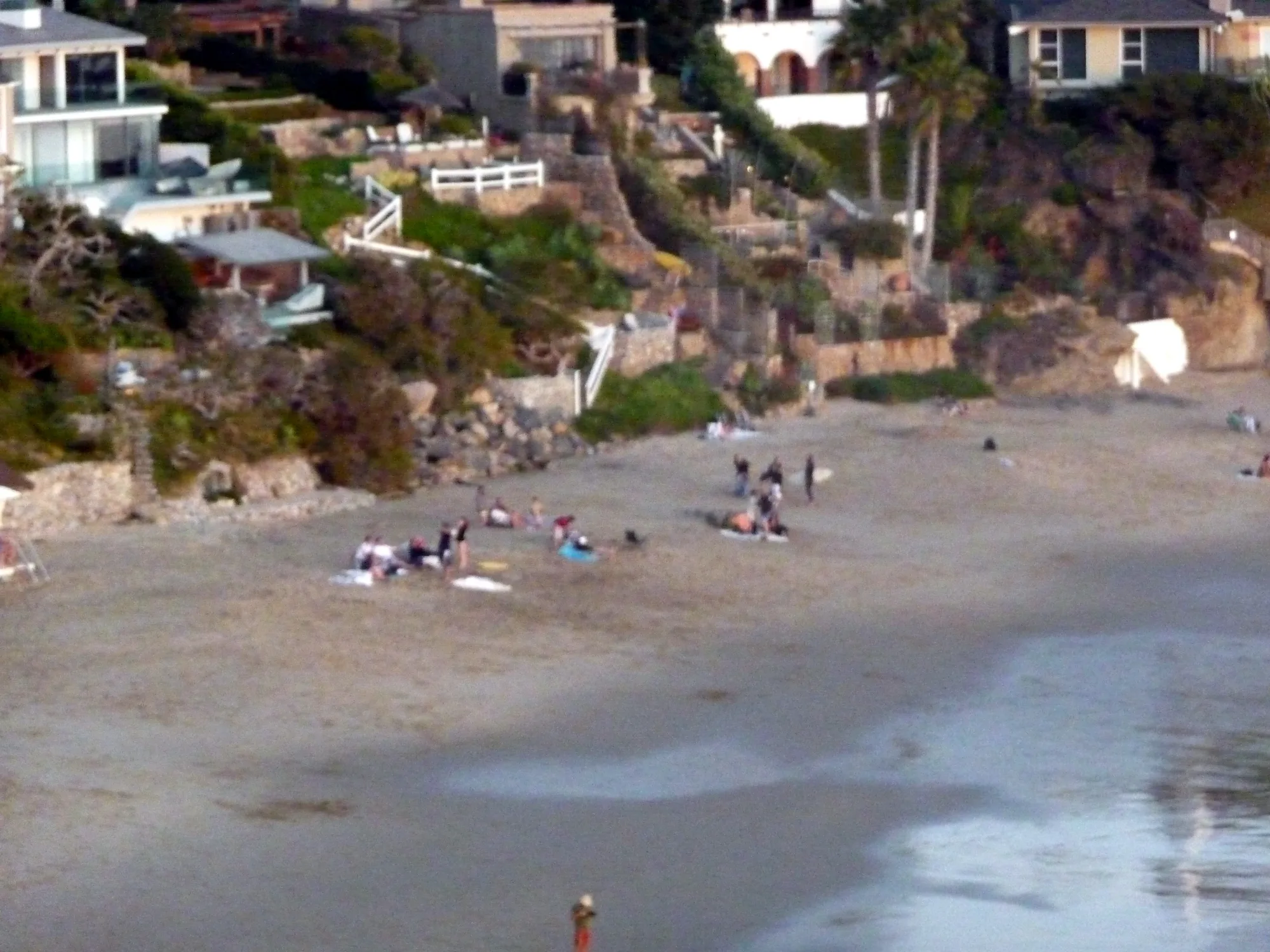
Photo: Wikimedia Commons / Don Ramey Logan