
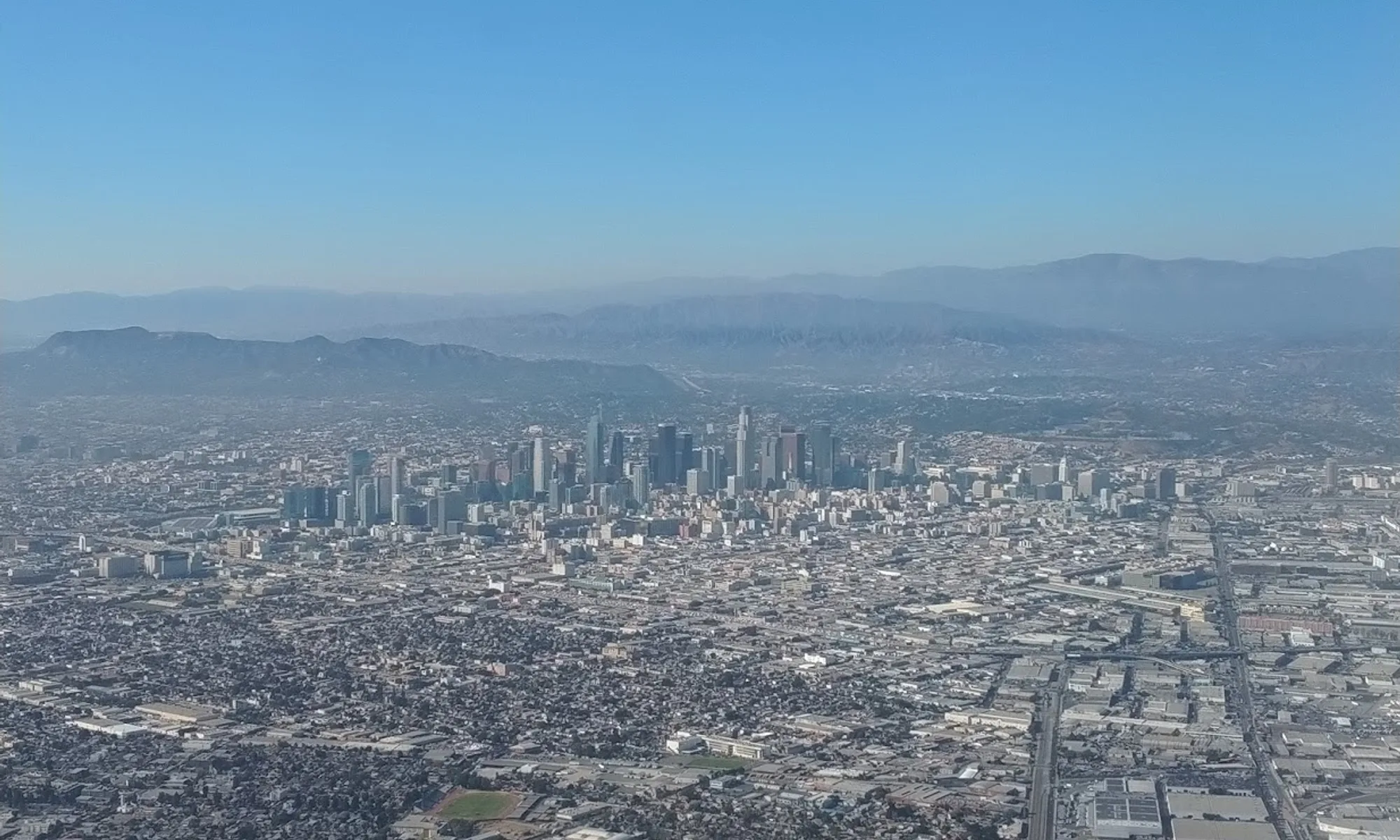
Pasadena
Rose Parade heritage and Arts-and-Crafts architecture at the foot of the San Gabriel Mountains—museums, Old Pasadena dining, and Griffith-adjacent hikes without downtown LA grit.
Interactive map loading… View on OpenStreetMap
34.1478, -118.1445 · OSM
- Type
- city
- Region
- Los Angeles County
- Season
- Best January, March, April
- Access
- Near BUR
About Pasadena
Rose Parade heritage and Arts-and-Crafts architecture at the foot of the San Gabriel Mountains—museums, Old Pasadena dining, and Griffith-adjacent hikes without downtown LA grit.
Brick alleys, independent shops, and patio dining along Colorado Boulevard—the evening heart of the city. European and Asian masterpieces in a quiet Pasadena campus—allow two hours minimum. Guided tours of the ultimate Arts and Crafts residence—reservations required for interior access. Iconic venue for football, concerts, and flea markets—tour days when games are not scheduled.
Know before you go
- Parade week: Late December traffic and overnight camper rules dominate—read city guidance before driving near Colorado Boulevard.
- Rose Bowl events: USC/UCLA games and concerts clog Arroyo parking—use shuttles when offered.
- Heat: Foothill afternoons run hot May–October—hike mornings.
- Air quality: Santa Ana winds and wildfire smoke affect mountain views—check AQI.
- Museum hours: Norton Simon and Huntington have varied closure days—verify before cross-town trips.
- Forecast: Mountain weather differs from city heat—use the NWS panel on this page.
How to get to Pasadena
Pasadena lies northeast of downtown Los Angeles along the 210 freeway, about 10 miles from DTLA skyscrapers and 25 miles from Santa Monica beaches. Hollywood Burbank (BUR) is often the quickest airport; LAX adds distance but more flights. Metro A Line (Gold) light rail reaches Old Pasadena from Azusa and Los Angeles Union Station—helpful on Rose Bowl event days when freeway parking tightens.
- Fly BUR or LAX BUR avoids cross-town traffic for Pasadena hotels; LAX travelers should budget 45–75 minutes depending on hour.
- Exit at Lake or Orange Grove for core sights Rose Bowl, Kidspace, and Arroyo Seco trails cluster west; Norton Simon and Old Pasadena sit closer to Lake Avenue.
- Use light rail for DTLA museums A Line connects without parking hassles—mind evening service gaps on Sundays.
- Plan mountain drives separately Angeles National Forest trailheads climb quickly—check forest closures and snow/ice in winter.
Plan your visit
Best months
January, March, April, May
Typically the most comfortable months for weather and crowds.
Nearest airport
Hollywood Burbank Airport (BUR)
About 22 minutes by car, depending on traffic.
Highlight
Rose Parade · Museums · Craftsman homes
Rose Parade heritage and Arts-and-Crafts architecture at the foot of the San Gabriel Mountains—museums, Old Pasadena dining, and Griffith-adjacent hikes without downtown LA grit.
Plan two to three days for Gamble House tours, Norton Simon, Huntington Library (technically San Marino), and Old Pasadena evenings. New Year’s Rose Parade visitors need months-ahead lodging and strict viewing logistics.
Culture rhythm: Morning museum air-conditioning, afternoon Colorado Boulevard shopping, sunset from Arroyo overlooks.
Outdoor rhythm: Eaton Canyon and Gabrielino trails reward early starts before summer heat; fall colors are subtle but hiking temps improve.
Who it’s for: Architecture buffs, parade pilgrims, families at Kidspace, and LA visitors who prefer leafy streets to beach crowds.
Budget tips: Free Arroyo walks balance paid museum tickets; parade grandstand seats are premium—streetside viewing is free but crowded.
Pasadena: FAQ
What is Pasadena famous for?
Rose Parade and Rose Bowl, Old Pasadena dining, Gamble House architecture, and major museums including Norton Simon.
How far is Pasadena from Los Angeles?
About 10 miles northeast—20–40 minutes by car depending on 110/134 traffic.
When is the Rose Parade?
January 1 morning (or January 2 if New Year’s Day is Sunday)—book lodging many months ahead.
What airport is closest?
Hollywood Burbank (BUR) is often fastest; LAX is the main international gateway.
Is Pasadena walkable?
Old Pasadena and parts of South Lake Avenue walk well; museums and Rose Bowl need drives or transit hops.
Can you hike near Pasadena?
Yes—Eaton Canyon and Angeles National Forest trailheads are minutes north.
Is it good for families?
Kidspace, parade spectacle, and shorter foothill hikes suit kids—balance heat and crowds on parade week.
How many days do you need?
Two nights cover museums and dining; add a day for Huntington and a mountain hike.
Does Metro go to Pasadena?
A Line light rail serves Old Pasadena and connects toward Los Angeles.
What should visitors expect in Pasadena this fall?
October brings cooler hiking windows in the Arroyo and less intense sun on Colorado Boulevard patios. Rose Bowl concert season and Caltech events still draw crowds. Santa Ana wind days can spike fire risk in the mountains—check forest access and the National Weather Service forecast on this page before Eaton Canyon hikes.
More places near Los Angeles County

Nearest beaches


Photo: Wikimedia Commons