
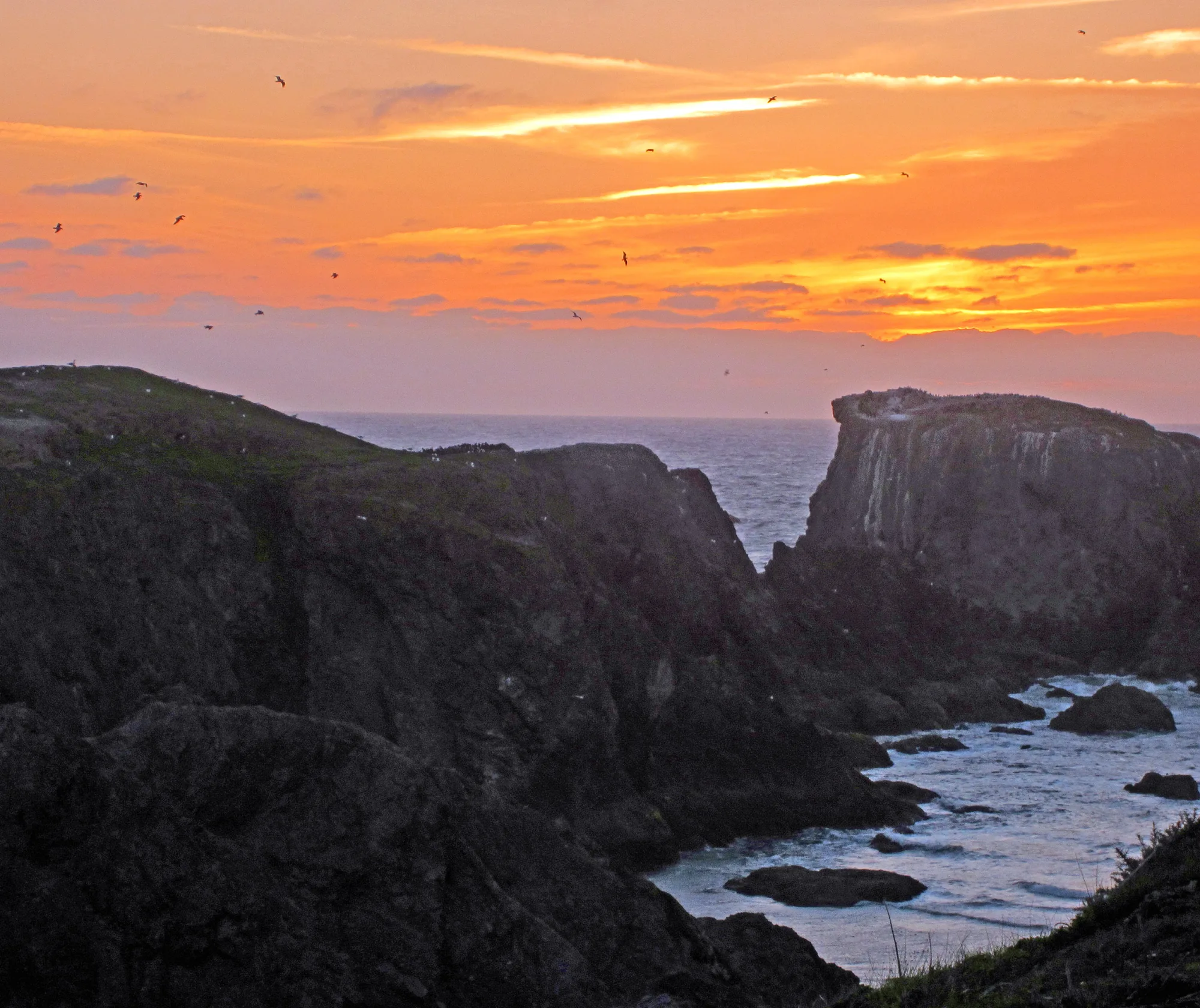
Willow Creek Picnic Area
A Big Sur Highway 1 picnic-and-shore stop—dramatic coast, cold water, and road conditions that can change the entire day.
Interactive map loading… View on OpenStreetMap
36.2505, -121.8150 · OSM
- Type
- beach
- Region
- Central Coast
- Season
- Best May, June, September
- Access
- Near MRY
About Willow Creek Picnic Area
A Big Sur Highway 1 picnic-and-shore stop—dramatic coast, cold water, and road conditions that can change the entire day.
Keep distance from edges and surf. Build fog and closure buffers into the schedule. Pivot north when the highway is closed. Use the NWS forecast on this page.
Know before you go
- Road first: Closures override itineraries.
- Cold water: Not a casual swim stop.
- Cliffs: Stay behind barriers.
- Fuel/cell: Self-sufficient packing.
- Fog: Slow down on Highway 1.
- Leave no trace: Pack out picnic trash.
- Forecast: Use the NWS panel here.
How to get to Willow Creek Picnic Area
Willow Creek Picnic Area sits along Highway 1 in the Big Sur region. Most visitors drive the coast with full fuel, layers, and a closure backup via inland routes when needed.
- Check Highway 1 status first Slides and pilot cars are common—verify Caltrans before you leave Monterey or Cambria.
- Fuel up in larger towns Services thin out on the Big Sur strip.
- Arrive with picnic supplies Do not expect full concessions at every pullout.
- Stay back from cliff edges Undercut bluffs and sneaker waves are real hazards.
Plan your visit
Best months
May, June, September, October
Typically the most comfortable months for weather and crowds.
Nearest airport
Monterey Regional Airport (MRY)
About 60 minutes by car, depending on traffic.
Highlight
Beach · Big Sur · Picnic
A Big Sur Highway 1 picnic-and-shore stop—dramatic coast, cold water, and road conditions that can change the entire day.
Treat Willow Creek as a scenic picnic stop inside a Big Sur Highway 1 day—not a resort swim beach.
Best time: Clear shoulder-season windows; fog can erase views entirely.
Who it’s for: Scenic drivers and picnickers comfortable with remote coast logistics.
Pairing: Highway 1 Classic and Monterey overnight hubs.
Swimming: Cold, hazardous open coast—be extremely conservative.
Practical tip: If the road is closed, pivot to Monterey beaches rather than waiting hours in a queue.
Closing tip: One Big Sur stop done well beats five rushed pullouts.
Practical closing tip for Willow Creek Picnic Area: Build a flexible day with one primary beach goal and one backup within the same region. Coastal California rewards patience with parking, fog, and surf more than rigid checklists. Recheck the live forecast if wind or swell jumps during your drive.
Practical closing tip for Willow Creek Picnic Area: Build a flexible day with one primary beach goal and one backup within the same region. Coastal California rewards patience with parking, fog, and surf more than rigid checklists. Recheck the live forecast if wind or swell jumps during your drive.
Practical closing tip for Willow Creek Picnic Area: Build a flexible day with one primary beach goal and one backup within the same region. Coastal California rewards patience with parking, fog, and surf more than rigid checklists. Recheck the live forecast if wind or swell jumps during your drive.
Practical closing tip for Willow Creek Picnic Area: Build a flexible day with one primary beach goal and one backup within the same region. Coastal California rewards patience with parking, fog, and surf more than rigid checklists. Recheck the live forecast if wind or swell jumps during your drive.
Practical closing tip for Willow Creek Picnic Area: Build a flexible day with one primary beach goal and one backup within the same region. Coastal California rewards patience with parking, fog, and surf more than rigid checklists. Recheck the live forecast if wind or swell jumps during your drive.
Willow Creek Picnic Area: FAQ
Where is Willow Creek Picnic Area in Big Sur?
It is a Highway 1 coastal day-use / picnic stop in the Big Sur region of Monterey County, California.
Is Willow Creek Beach good for swimming?
Generally no for casual swimmers—cold open Pacific with strong wave energy. Enjoy views and picnics instead.
Do I need a reservation?
Day-use patterns vary—confirm current access and any fees before you go, and always check Highway 1 status.
How do I get to Willow Creek from Monterey?
Drive south on Highway 1 when open. Build extra time for curves, fog, and possible delays.
What should I bring?
Layers, water, picnic food, offline maps, and a full fuel tank.
Is Willow Creek open when Highway 1 is closed?
If the highway segment is closed, you generally cannot reach coastal pullouts along that stretch—choose Monterey alternatives.
Are there restrooms?
Facilities at remote Big Sur stops can be limited or seasonal—plan ahead in towns.
More places near Central Coast
Nearby destinations will appear as more place pages are published.
Nearby beaches

Photo: Wikimedia Commons / inkknife_2000 (7.5 million views +)