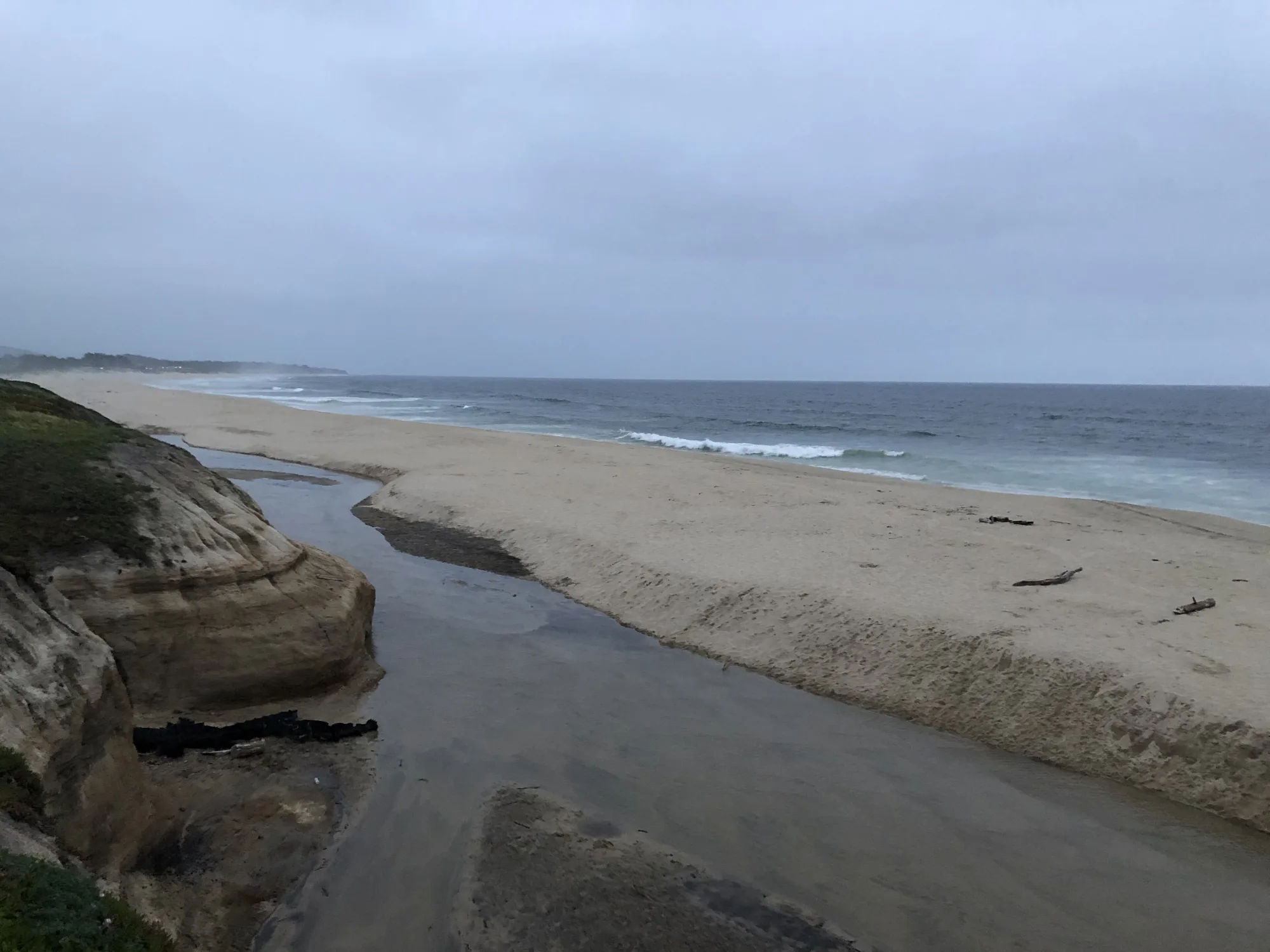
Highway 1 (Pacific Coast Highway) is California’s signature coastal drive—best as a multi-day chain of short legs with fog buffers, not a single sunrise-to-midnight sprint.
What “Highway 1 Classic” means
Travelers searching highway 1, highway 1 california, or pch highway usually want the iconic Pacific cliff-and-cove corridor: Monterey Peninsula drama, Big Sur pullouts, and Central Coast towns with room to overnight. This guide focuses on practical pacing and stop selection so you are not stuck racing sunset on blind curves.
Suggested overnight strategy
Treat the route as overnight hubs, not one marathon:
- Bay Area start: Base near San Francisco or Half Moon Bay, then drop south.
- Monterey midpoint: Monterey / Pacific Grove for aquarium days and bay beaches like Del Monte or San Carlos Beach.
- Big Sur / Central Coast: Keep legs short; slides and one-lane delays are normal—check Caltrans before you commit.
- SLO / Santa Barbara finish options: San Luis Obispo or continue toward Santa Barbara for a warmer southern finish.
How many days do you need?
Two days covers a highlight reel (Monterey + one Big Sur window). Four to five days is the classic experience with beach walks, one inland wine or mission stop, and weather flexibility. Same-day SF–LA on Highway 1 alone is a stress drive—use inland 101/5 if you need speed.
Signature stop types (pick one per half-day)
- Town beach block: Monterey cove time or a Malibu PCH pocket if you are on the southern segment (Malibu, Latigo, County Line).
- Reserve / tidepool morning: Point Lobos / Weston Beach when parking is open.
- Overlook + picnic: One pullout with a real lunch break beats five photo stop-and-gos.
- Harbor evening: Arrive before dark; coastal towns get quiet and cold after sunset.
Fog, wind, and road reality
Summer mornings often sock in western headlands while inland valleys bake. Pack layers. Winter storms can close segments—always have a 101 inland bypass. Fuel and cell service thin out in Big Sur; download offline maps.
Booking and parking tips
- Reserve popular lodging 2–6 weeks ahead for summer weekends.
- Arrive at Point Lobos and major overlook lots early; capacity limits are common.
- Do bathroom and snack stops in towns before remote segments.
- Do not stop in the Highway 1 travel lane for photos.
Related TripCali routes
Compare the north–south classic with our Highway 1 Los Angeles to Bay Area direction guide, the Pacific Coast Highway South segment, and the inland-faster San Francisco to Los Angeles alternative when time is tight.
Continue with places to visit, beaches, and all road trips.
TripCali publishes independent travel guidance. Confirm road status, park hours, and safety conditions before you go.
People also ask
How long does it take to drive Highway 1 in California?
A highlight version can work in two long days, but four to five days is more realistic for Big Sur pullouts, Monterey time, and fog delays. A single-day SF–LA sprint on Highway 1 alone is usually a bad idea.
Is Highway 1 the same as the Pacific Coast Highway?
In common travel language, yes—Highway 1 is widely called the Pacific Coast Highway (PCH), especially in Southern California. Exact local naming can vary by segment.
Do I need a car for Highway 1?
Yes for the classic overlook-and-town itinerary. Transit does not replace flexible pullouts and overnight hops along the coast.
When is the best time to drive Highway 1?
Late spring and early fall often balance clearer spells with slightly thinner crowds than peak summer. Always check Caltrans for slides and closures.
What are the best stops on Highway 1?
Pick by region: Monterey Peninsula beaches and Point Lobos, Big Sur overlooks, and Central Coast town nights. Do not try to collect every named pullout in one day.
Is Highway 1 open right now?
Segments close after storms and slides. Check Caltrans and local alerts the morning you drive—never rely on last week’s social post.
Should I drive Highway 1 northbound or southbound?
Both work. Many drivers prefer keeping ocean views on the right for photo pullouts, but traffic, lodging, and fog matter more than direction dogma.
What if I only have one day?
Choose one corridor—Monterey/Big Sur or a southern PCH beach day—and skip the full coast. Use inland freeways for city-to-city speed.
Photo: Wikimedia Commons