
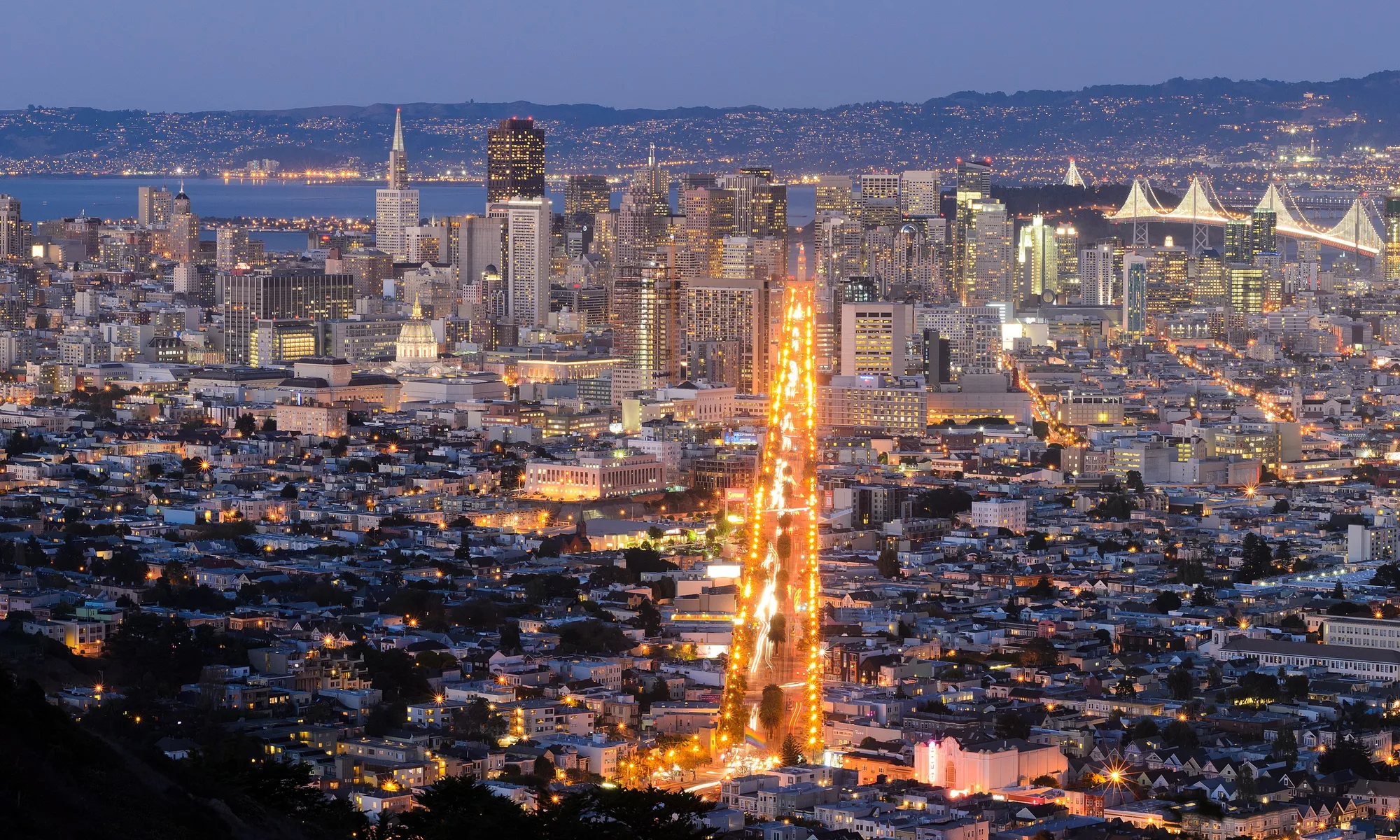
Benicia
Benicia est une étape côtière de San Francisco Bay Area : plage, cuisine locale et escapades d’une journée.
Interactive map loading… View on OpenStreetMap
38.0494, -122.1586 · OSM
- Type
- city
- Région
- San Francisco Bay Area
- Saison
- Best avril, mai, septembre
- Accès
- Near OAK
À propos de Benicia
Benicia est une étape côtière de San Francisco Bay Area : plage, cuisine locale et escapades d’une journée.
Shops, dining, and pier strolls with Carquinez Strait ship traffic as backdrop. Allow extra time for parking, reservations, and seasonal crowds typical of San Francisco Bay Area destinations. Bay-edge trails, native gardens, and Dillon’s Point bird habitat—ideal for cyclists. Allow extra time for parking, reservations, and seasonal crowds typical of San Francisco Bay Area destinations. 1850s capitol building where California government briefly met—guided context for history fans. Allow extra time for parking, reservations, and seasonal crowds typical of San Francisco Bay Area destinations. Converted military warehouses host studios and events—check open-studio weekends. Allow extra time for parking, reservations, and seasonal crowds typical of San Francisco Bay Area destinations.
À savoir avant de partir
- Météo : Dans San Francisco Bay Area, le temps change vite — prévoyez des couches.
- Parking : Les zones populaires se remplissent tôt le week-end.
Comment aller à Benicia
Benicia se trouve dans San Francisco Bay Area. La plupart des visiteurs arrivent en voiture ; Oakland International Airport (OAK) est une porte d’entrée fréquente.
- Drive I-680 or I-780 Benicia sits between Vallejo bridges and Martinez refineries—traffic peaks at commute hours.
- Ride Capitol Corridor trains Connect Oakland or Sacramento to Benicia–Vallejo area stations, then taxi or bus to the waterfront.
- Walk First Street & marina Shops, galleries, and pier views cluster along the strait—sunset light hits the hills across the water.
- Cycle the Carquinez Strait loop Road cyclists link Benicia with regional bridge trails—confirm current path openings before you ride.
Préparer votre visite
Meilleurs mois
avril, mai, septembre, octobre
Typically the most comfortable months for weather and crowds.
Aéroport le plus proche
Oakland International Airport (OAK)
About 37 minutes by car, depending on traffic.
Point fort
Bay Area · Waterfront · History
Benicia est une étape côtière de San Francisco Bay Area : plage, cuisine locale et escapades d’une journée.
Prévoyez un à deux jours complets pour les points forts de Benicia. Meilleure période : avril, mai, septembre, octobre.
Benicia : FAQ
Combien de jours faut-il à Benicia ?
Une journée complète couvre l’essentiel. Deux jours permettent un rythme plus calme et une excursion proche.
Quel est l’aéroport le plus proche de Benicia ?
Oakland International Airport (OAK) est parmi les options les plus pratiques — souvent environ 37 minutes en voiture.
Faut-il une voiture à Benicia ?
La voiture reste la plus flexible, surtout pour les belvédères et les villages voisins.
Quelle est la meilleure période pour visiter Benicia ?
Le printemps et l’automne sont souvent agréables dans San Francisco Bay Area ; les week-ends fériés sont plus chargés.
Benicia convient-il pour un week-end ?
Oui — en base vendredi–dimanche si vous gardez des trajets réalistes et réservez tôt.
Dans quelle région se trouve Benicia ?
Benicia est généralement associée à San Francisco Bay Area pour l’organisation du voyage.
Autres lieux près de San Francisco Bay Area
Nearest beaches




Photo: Wikimedia Commons