
Benicia
A walkable Solano County waterfront with a preserved arsenal district, strait breezes, and an easy hop from Napa or Berkeley.
Interactive map loading… View on OpenStreetMap
38.0494, -122.1586 · OSM
- Type
- city
- Region
- San Francisco Bay Area
- Season
- Best April, May, September
- Access
- Near OAK
About Benicia
A walkable Solano County waterfront with a preserved arsenal district, strait breezes, and an easy hop from Napa or Berkeley.
Shops, dining, and pier strolls with Carquinez Strait ship traffic as backdrop. Allow extra time for parking, reservations, and seasonal crowds typical of San Francisco Bay Area destinations. Bay-edge trails, native gardens, and Dillon’s Point bird habitat—ideal for cyclists. Allow extra time for parking, reservations, and seasonal crowds typical of San Francisco Bay Area destinations. 1850s capitol building where California government briefly met—guided context for history fans. Allow extra time for parking, reservations, and seasonal crowds typical of San Francisco Bay Area destinations. Converted military warehouses host studios and events—check open-studio weekends. Allow extra time for parking, reservations, and seasonal crowds typical of San Francisco Bay Area destinations.
Know before you go
- Wind on the strait: Afternoons can gust—layer up for pier walks and cycling.
- Industrial views: Refineries across the water are part of the landscape—expect tanker traffic.
- Arsenal events: Festival weekends close streets—check city calendars before you drive in.
- Bridge traffic: I-680 backups affect arrival times—avoid peak commute if possible.
- Forecast: Bay microclimates vary—use the National Weather Service panel on this page.
- Reservations: Popular restaurants, tastings, and tours often require advance booking on weekends and holidays.
How to get to Benicia
Benicia fronts the Carquinez Strait on the north shore of San Francisco Bay, linked to Vallejo by I-780 and to the East Bay by I-680. Oakland International (OAK) and San Francisco (SFO) are the usual airports; the Amtrak Capitol Corridor stops nearby for car-free Bay Area hops.
First Street’s waterfront promenade and historic arsenal district reward slow walking once you park near the marina.
- Drive I-680 or I-780 Benicia sits between Vallejo bridges and Martinez refineries—traffic peaks at commute hours.
- Ride Capitol Corridor trains Connect Oakland or Sacramento to Benicia–Vallejo area stations, then taxi or bus to the waterfront.
- Walk First Street & marina Shops, galleries, and pier views cluster along the strait—sunset light hits the hills across the water.
- Cycle the Carquinez Strait loop Road cyclists link Benicia with regional bridge trails—confirm current path openings before you ride.
Plan your visit
Best months
April, May, September, October
Typically the most comfortable months for weather and crowds.
Nearest airport
Oakland International Airport (OAK)
About 37 minutes by car, depending on traffic.
Highlight
Bay Area · Waterfront · History
A walkable Solano County waterfront with a preserved arsenal district, strait breezes, and an easy hop from Napa or Berkeley.
Plan a day trip from San Francisco or the East Bay for waterfront lunch, state recreation area trails, and arsenal history—or stay overnight for quiet B&Bs away from Napa crowds.
Waterfront rhythm: Fishing piers, sailboats, and willow-lined paths frame a strait busy with cargo ships—watch freighters pass while you picnic.
History rhythm: Benicia served briefly as California’s state capital in the 1850s; the arsenal supplied military goods for more than a century before artists reclaimed brick warehouses.
Outdoor rhythm: Benicia State Recreation Area offers cycling and running on bay-edge trails with native plant gardens—Dillon’s Point attracts birders.
Who it’s for: Cyclists, history buffs, couples wanting low-key bay views, and wine-country travelers seeking a strait-side break from vineyard traffic.
Budget tips: Free waterfront walks balance paid museum entries. Midweek lunches avoid bridge commuter rushes.
Practical pacing: Most visitors budget two full days for Benicia—one for signature sights and one for a slower neighborhood or outdoor block without rushing between parking lots.
Regional context: Benicia anchors San Francisco Bay Area itineraries where bay area, waterfront, history, arts show up in everyday planning. Oakland International Airport (OAK) is the primary gateway listed here—budget roughly 37 minutes by road before traffic and stops.
Seasonal window: April, May, September, October often balance comfortable weather with event calendars—still pack layers because microclimates and elevation swings are common across California.
Who it suits: Road-trippers linking nearby towns, weekenders from major metros, and travelers who want a local base rather than only marquee attractions an hour away.
Benicia: FAQ
What is Benicia known for?
Benicia draws visitors for strait-front history and arts. Pace yourself—highlights spread across neighborhoods and nearby outdoor areas.
What airport is closest to Benicia?
OAK is the usual fly-in choice on the drive times listed for this destination. Add buffer for holidays and rush hour.
How many days should I spend in Benicia?
One to two days fits many itineraries. Stretch to three if you are combining Benicia with Napa on the same trip.
Do I need a car in Benicia?
Most travelers rent or drive their own car. Downtown cores may be walkable, but beaches, wineries, and trailheads generally are not.
When is the best time to visit Benicia?
Match your dates to the glance best-months list and local event calendars. Shoulder seasons often mean easier parking and lodging.
What can I combine with a Benicia trip?
Napa is a frequent pairing—see the top things links for nearby places and activity hubs on this site.
How many days do you need in Benicia?
Two days cover highlights without rushing; add a third if you are pairing Benicia with neighboring San Francisco Bay Area towns or a long outdoor day.
Is Benicia good for a weekend trip?
Yes for a focused weekend when you prioritize bay area, waterfront, history, arts and accept that some experiences need reservations or morning starts.
Do you need a car in Benicia?
A car is the most flexible way to reach trailheads and neighboring towns; walkable cores still benefit from short drives or transit where available.
What should visitors expect in Benicia this fall?
September falls in the stronger window for Benicia (April, May, September, October). Expect typical fall conditions—pack layers, book popular lodging early for weekends, and check live National Weather Service forecasts on this page before outdoor plans. Crowds and rates are usually higher around holidays.
More places near San Francisco Bay Area
Nearest beaches




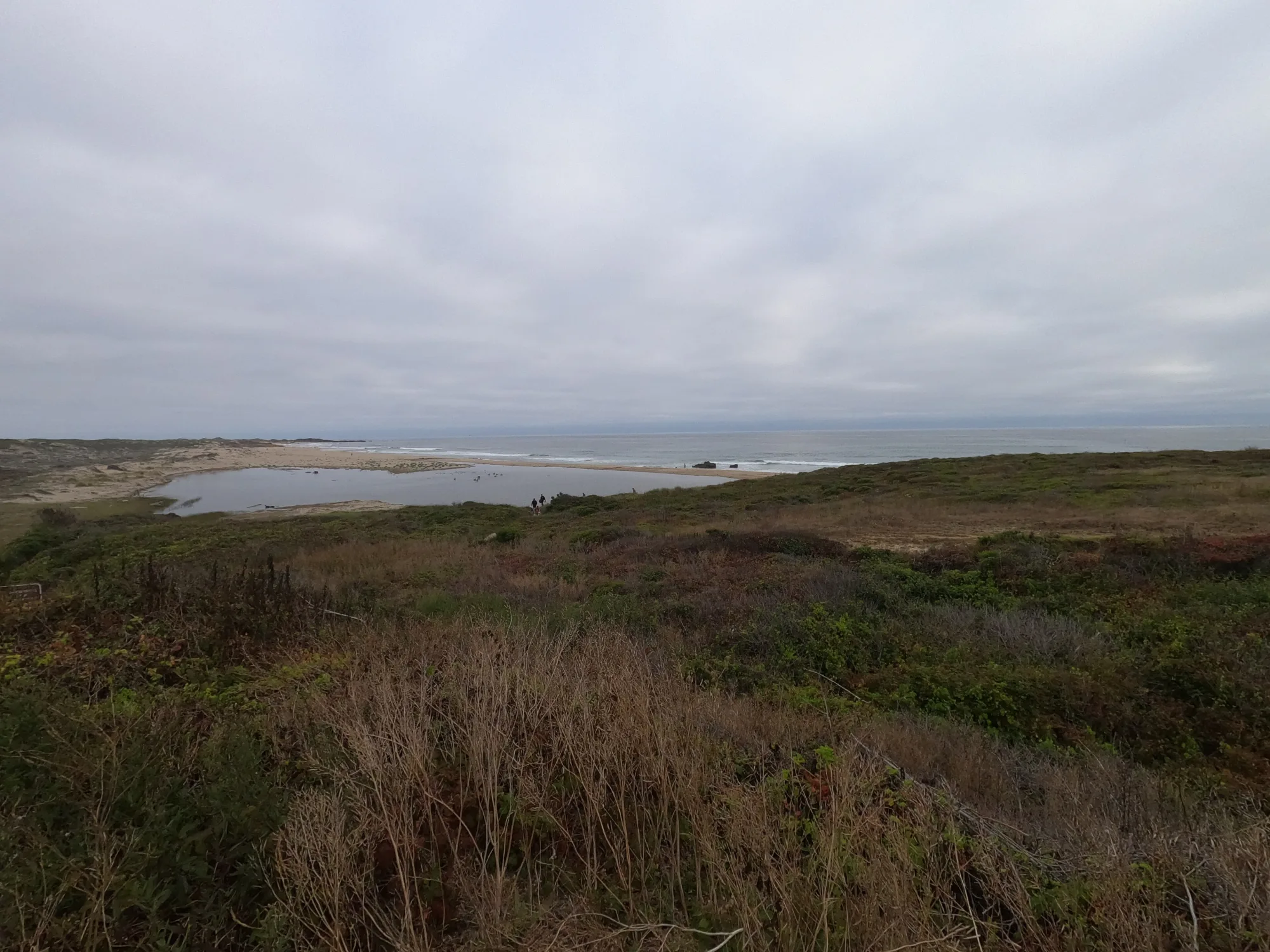
Photo: Wikimedia Commons