

Big Sur
An unincorporated Central Coast stretch of Highway 1 cliffs, redwood canyons, and state parks—more a landscape than a single town.
Interactive map loading… View on OpenStreetMap
36.2704, -121.8081 · OSM
- Type
- area
- Region
- Central Coast
- Season
- Best April, May, June
- Access
- Near MRY
About Big Sur
An unincorporated Central Coast stretch of Highway 1 cliffs, redwood canyons, and state parks—more a landscape than a single town.
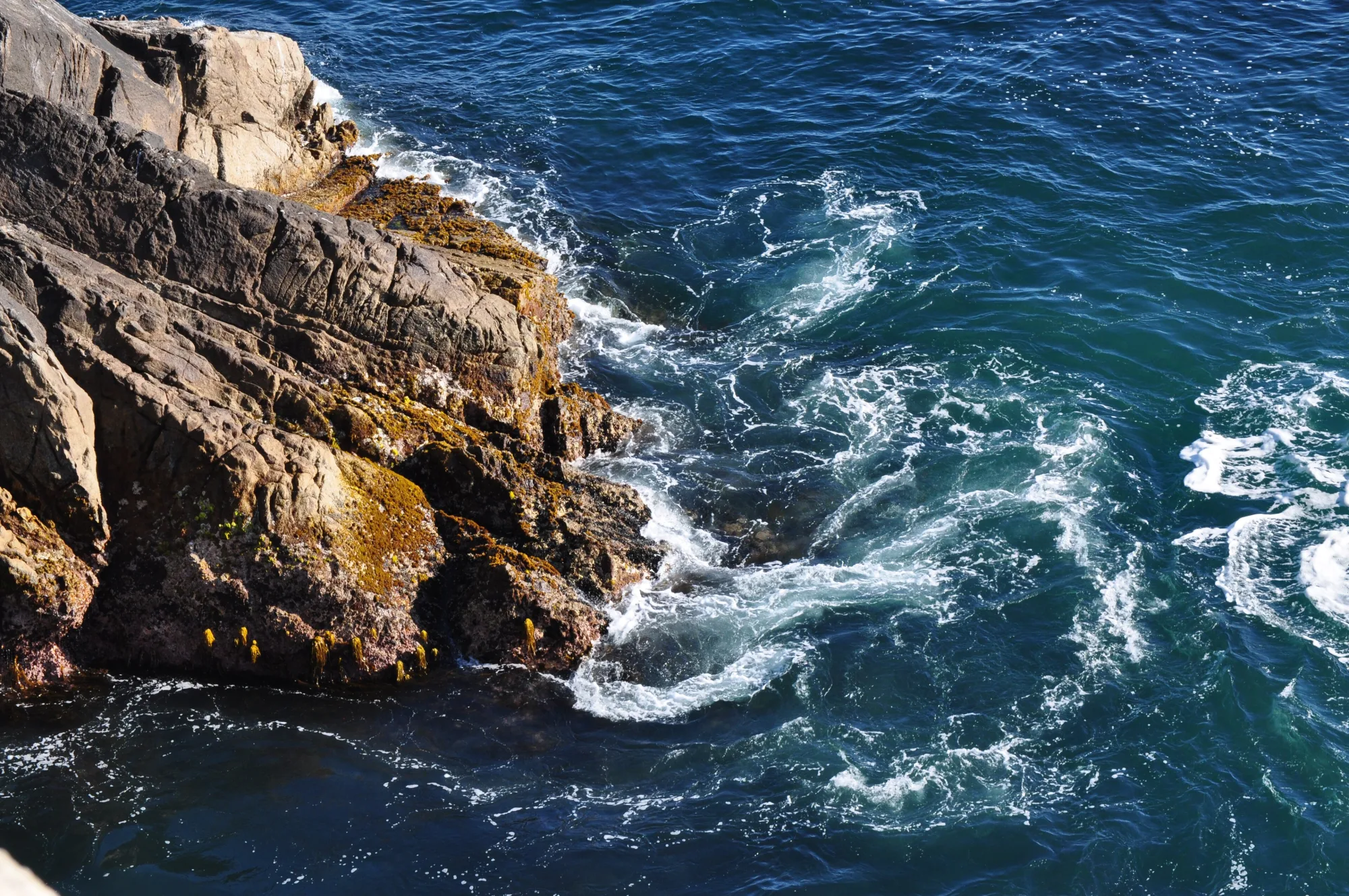
The iconic arch south of Carmel—pull over safely for photos, then continue for quieter cliffs beyond the crowds. Redwood trails, river access, and a classic inland campground base along the Big Sur River. Allow extra time for parking, reservations, and seasonal crowds typical of Central Coast destinations. A short walk to an overlook of the waterfall spilling onto a cove—one of California’s most photographed coastal scenes. The point of Big Sur: unhurried miles of ocean cliffs, pullouts, and fog breaking over the Santa Lucias.
Know before you go
- Road closures: Always verify Highway 1 before departure; a closure can strand day-trippers or force long inland detours.
- Fog and cliffs: Visibility drops fast. Use pullouts; do not stop in travel lanes for photos.
- Cell service: Expect dead zones. Download offline maps and share your itinerary with someone ashore.
- Fire and camping rules: Seasonal fire restrictions and campground reservations change often—check current park notices.
- Live weather: Use the National Weather Service forecast panel on this page before hikes, boating, or long coastal walks.
- Reservations: Popular restaurants, tastings, and tours often require advance booking on weekends and holidays.
How to get to Big Sur
Big Sur is not a city with a downtown grid—it is a loosely defined coastal corridor along Highway 1 between the Carmel Highlands and the southern Santa Lucia range. Most visitors approach by car from Monterey County or from the south when the highway is open.
- Fly into Monterey Regional (MRY) MRY is the closest practical airport. Budget roughly 45–90 minutes to reach central Big Sur landmarks (Bixby Bridge, Pfeiffer Big Sur State Park) depending on traffic, fog, and where you stop—Highway 1 is slow by design.
- Or fly into SFO and drive south San Francisco International offers more flights. Plan a half-day drive via Highway 101 to Monterey then Highway 1, or the full coastal route when time and weather allow. Overnight in Monterey or Carmel if you land late.
- Check Highway 1 status before you go Landslides, construction, and winter storms can close segments of the Big Sur coast for days or months. Confirm Caltrans conditions and have an alternate overnight plan north or south of any closure.
- Fuel up and pack supplies Gas, groceries, and cell service are sparse along the cliffs. Fill the tank in Carmel, Monterey, or Cambria and carry water, layers, and cash for state-park day-use fees.
Plan your visit
Best months
April, May, June, September
Typically the most comfortable months for weather and crowds.
Nearest airport
Monterey Regional Airport (MRY)
About 45 minutes by car, depending on traffic.
Highlight
Scenic drives · Highway 1 · Hiking
An unincorporated Central Coast stretch of Highway 1 cliffs, redwood canyons, and state parks—more a landscape than a single town.
Give Big Sur at least one full day for a Highway 1 out-and-back from Monterey or Carmel; two or three nights let you hike redwood canyons, catch sunrise light on the cliffs, and avoid rushing every pullout.
Best time: Late spring and early fall often bring clearer views and more reliable road status than peak winter storm season. Summer can be foggy at the coast even when inland valleys are hot.
Who it’s for: Scenic drivers, hikers, photographers, and couples seeking quiet lodging. It is a poor fit for travelers who need nightlife, dense dining, or wheelchair-easy urban sidewalks.
Budget tips: Lodges and campsites book out early on weekends—reserve months ahead for summer. Day-use parking at popular state parks fills by mid-morning; arrive early or visit midweek.
Practical pacing: Most visitors budget two full days for Big Sur—one for signature sights and one for a slower neighborhood or outdoor block without rushing between parking lots.
Regional context: Big Sur anchors Central Coast itineraries where scenic drives, highway 1, hiking, central coast show up in everyday planning. Monterey Regional Airport (MRY) is the primary gateway listed here—budget roughly 45 minutes by road before traffic and stops.
Seasonal window: April, May, June, September often balance comfortable weather with event calendars—still pack layers because microclimates and elevation swings are common across California.
Who it suits: Road-trippers linking nearby towns, weekenders from major metros, and travelers who want a local base rather than only marquee attractions an hour away.
Big Sur: FAQ
Is Big Sur a city?
No. Big Sur is an unincorporated coastal region along Highway 1 in Monterey (and partly San Luis Obispo) County—ranches, lodges, and parks without a single downtown. Use a specific lodge, campground, or state park as your pin when navigating.
How many days do you need in Big Sur?
A full day covers a Highway 1 highlights run from the Monterey Peninsula. Two or three nights are better if you want hikes, sunrise light, and buffer for fog or slow traffic. Do not try to “do” Big Sur as a quick stop between San Francisco and Los Angeles in one rushed afternoon.
What is the closest airport to Big Sur?
Monterey Regional (MRY) is closest for most northern and central Big Sur stops. San Francisco (SFO) and San Jose (SJC) work with a longer drive; LA-area airports are better only if you are approaching from the south when Highway 1 is open end-to-end.
Do I need a car in Big Sur?
Yes for almost every itinerary. Public transit is minimal, lodges are spread out, and the experience is the drive plus trailheads. Bicycle touring is possible for experienced riders but is not a casual substitute for a car.
When is the best time to visit Big Sur?
April–June and September–October often balance greener hills or clearer fall light with somewhat more reliable road conditions than deep winter. Summer weekends are busy; winter can be dramatic but stormy and closure-prone.
Is Highway 1 through Big Sur always open?
No. Slides and repairs periodically close sections for extended periods. Check Caltrans before you leave and build flexible lodging plans north and south of known problem stretches.
Where should I stay in Big Sur?
Options range from riverside campgrounds and rustic cabins to cliffside inns. Book early. Many travelers also base in Carmel, Monterey, or Cambria and day-trip into the corridor when lodges are full or out of budget.
Are there beaches for swimming in Big Sur?
Pocket beaches exist, but cold water, strong currents, and steep access make swimming uncommon compared with Southern California strands. Most visitors come for views, hiking, and photography—treat any water entry as advanced and hazard-aware.
What is Big Sur known for?
Big Sur is known for scenic drives, highway 1, hiking, central coast within Central Coast—use this page’s sections for how to reach airports, trails, and dining clusters.
What should visitors expect in Big Sur this fall?
September falls in the stronger window for Big Sur (April, May, June, September). Expect typical fall conditions—pack layers, book popular lodging early for weekends, and check live National Weather Service forecasts on this page before outdoor plans. Crowds and rates are usually higher around holidays.
More places near Central Coast


Nearest beaches
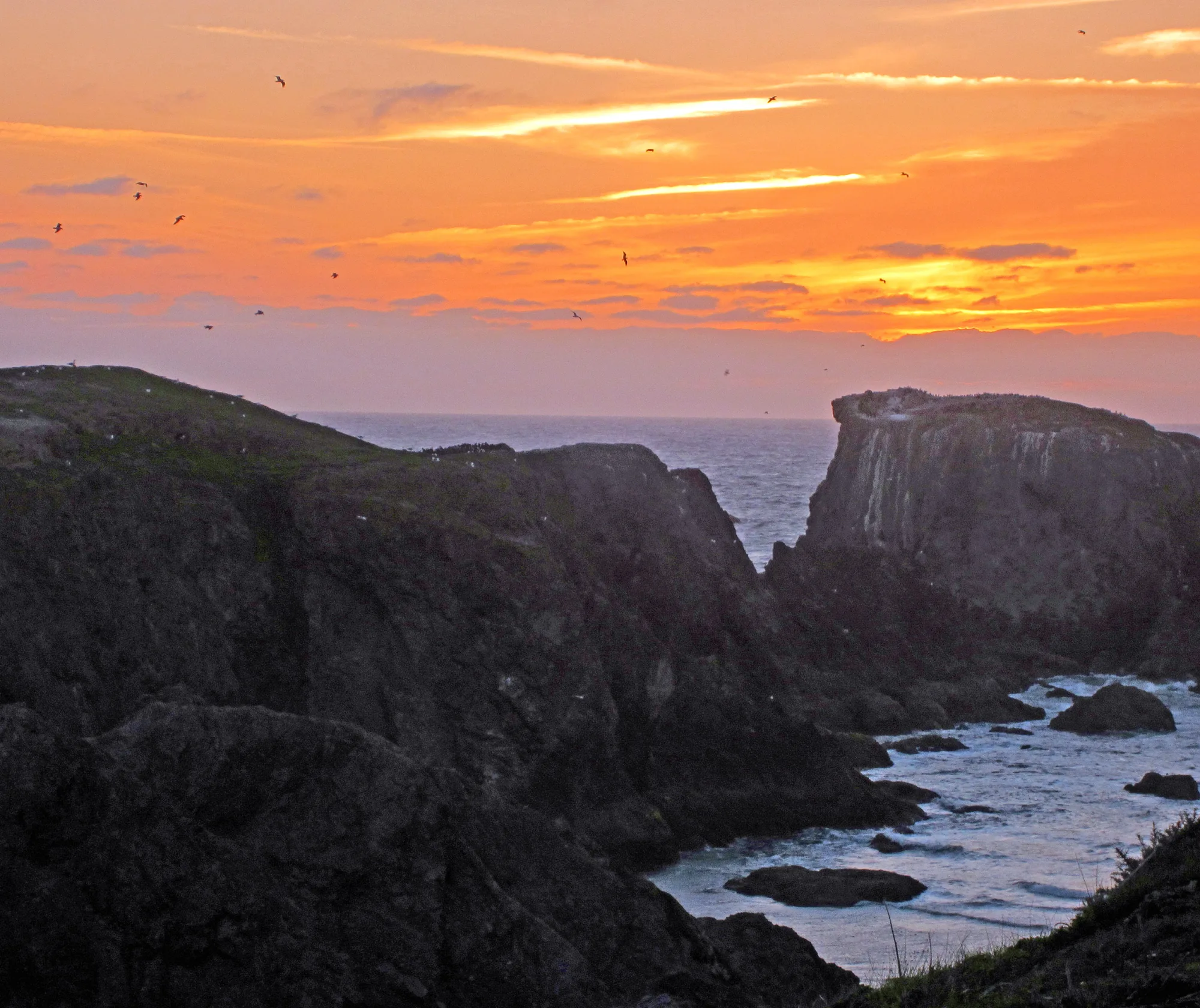

Photo: Wikimedia Commons