
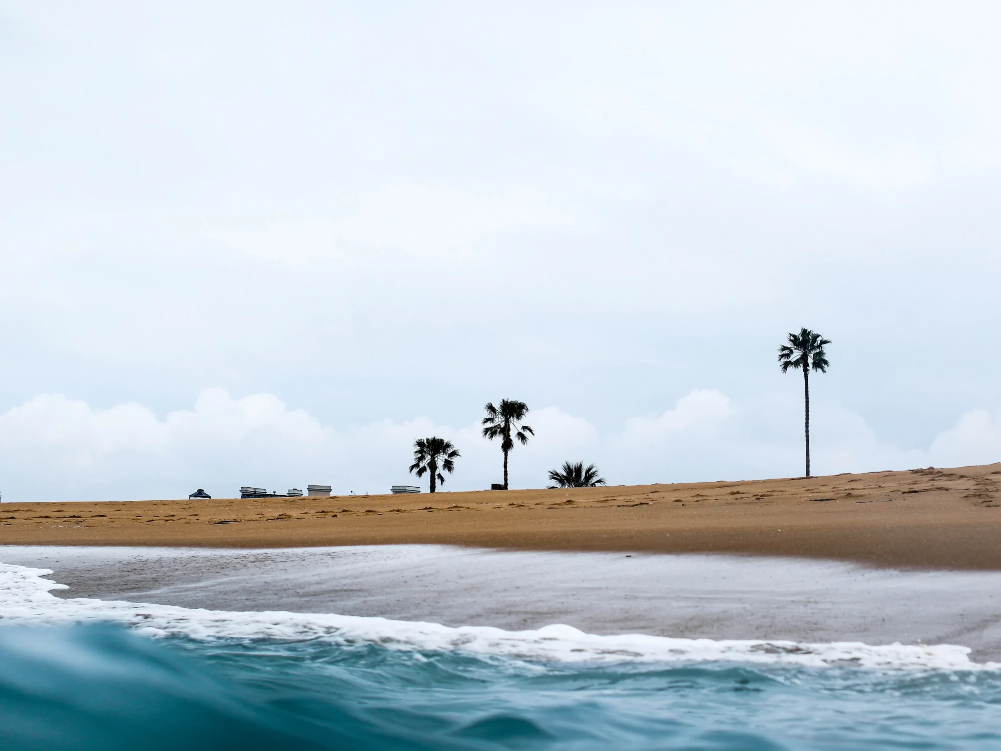
Sacramento
California’s capital—Old Sacramento history, farm-to-fork dining, American River bike miles, and a heat-aware Central Valley base for Bay Area or foothill day trips.
Interactive map loading… View on OpenStreetMap
38.5816, -121.4944 · OSM
- Type
- city
- Region
- Central Valley
- Season
- Best March, April, May
- Access
- Near SMF
About Sacramento
California’s capital—Old Sacramento history, farm-to-fork dining, American River bike miles, and a heat-aware Central Valley base for Bay Area or foothill day trips.
Working government rooms and historic offices—book peak tour slots. Gold Rush waterfront and locomotive collections—essential first visit. Flat family-friendly miles toward Folsom—go early in summer. Farm-to-fork and brewery energy away from capitol formality.
Know before you go
- Summer heat: 100°F days happen—schedule river and bike time early.
- Tule fog: Winter mornings cut freeway visibility on I-5 and I-80.
- Capitol security: Tours may involve screening—arrive early.
- Bike theft: Lock rentals on midtown stops.
- Parking: Prefer lit garages near Old Sac and the capitol.
- Live weather: Check the NWS forecast panel before outdoor plans.
How to get to Sacramento
Sacramento sits at the Sacramento–American River confluence about 90 miles northeast of San Francisco via I-80. SMF is the local airport; Amtrak Capitol Corridor links the Bay Area. Summer heat and winter tule fog both reshape outdoor timing.
- Fly SMF for the easiest arrival Rideshares reach downtown quickly outside rush hour.
- Consider Amtrak from the Bay Area Capitol Corridor avoids I-80 weekend traffic for many visitors.
- Park once downtown / Old Sac Walk museum and riverfront blocks rather than reparking every hour.
- Bike the American River early in summer Flat trail miles are best before afternoon heat.
- Separate wine or foothill day trips Lodi / Amador and Sierra foothills need dedicated half-days—do not sandwich them into a rushed capitol morning.
Plan your visit
Best months
March, April, May, September
Typically the most comfortable months for weather and crowds.
Nearest airport
Sacramento International (SMF)
About 20 minutes by car, depending on traffic.
Highlight
State capital · Farm-to-fork · Rivers
California’s capital—Old Sacramento history, farm-to-fork dining, American River bike miles, and a heat-aware Central Valley base for Bay Area or foothill day trips.
Plan two to three nights for capitol tours, Railroad Museum, midtown dining, and one river or bike block.
Things to do pacing: Day one—Capitol Museum + Old Sacramento + Railroad Museum. Day two—American River Parkway morning, midtown lunch, Sutter’s Fort afternoon, farm-to-fork dinner. Optional day three—winery or foothill side trip with an early start.
Best time: Spring and fall for outdoor comfort. Summer works with early starts and indoor afternoons. Winter favors museums when tule fog slows freeways.
Who it’s for: History travelers, food-focused weekenders, families on I-5/I-80 breaks, and cyclists who want flat river miles.
Legislative calendar tip: Session seasons increase downtown lunch demand—reserve or eat slightly off-peak near the capitol.
Beach reality: Sacramento is inland. For Pacific sand, plan a separate Bay Area / Central Coast day—not a casual evening errand.
Weather: Use the live National Weather Service panel before long bike rides and outdoor museum walks.
Sacramento: FAQ
Why visit Sacramento?
Gold Rush history, capitol tours, farm-to-fork dining, and river trails without coastal fog prices.
How far is Sacramento from San Francisco?
About 90 miles—90 minutes by car in light traffic on I-80.
What airport serves Sacramento?
Sacramento International (SMF) is primary; SFO is a distant alternative.
Is Old Sacramento worth it?
Yes for first-timers—museums and river context anchor California history lessons.
When is the best weather?
March–May and October–November are milder; summers are hot and dry.
Can you day-trip to wine country?
Lodi and Amador are under an hour—plan separate tasting days.
Is Sacramento walkable?
Midtown and riverfront cores yes; spread-out metro still needs cars for suburbs.
How many days do you need?
Two nights cover capitol, Old Sacramento, and one food-focused evening.
Is it good for kids?
Railroad Museum, riverboats, and flat bike trails suit families—watch summer heat.
What should visitors expect in Sacramento this fall?
October brings cooler bike-ride weather along the American River and harvest dinners highlighting nearby farms. Tule fog may appear by late November on morning drives. Legislative session traffic eases after summer recess—check the National Weather Service forecast on this page before planning all-day outdoor festivals.
What are the best things to do in Sacramento?
Tour the State Capitol, explore Old Sacramento and the Railroad Museum, bike the American River Parkway, and plan a midtown farm-to-fork dinner. Add Sutter’s Fort if you want deeper Gold Rush context.
How many days do you need in Sacramento?
Two full days cover signature sights comfortably; three days fit a wine or foothill side trip.
Is Sacramento hot?
Yes in summer—often much hotter than the Bay Area. Schedule outdoor activity early and use indoor museums midday.
Is Sacramento close to San Francisco?
About 90 miles northeast via I-80—often 1.5–2.5 hours depending on traffic. Amtrak is a strong alternative.
What airport is best for Sacramento?
SMF is the local choice. SFO/OAK work only if you already have Bay Area plans and accept a longer transfer.
More places near Central Valley

Nearest beaches




Photo: Wikimedia Commons / Jeremy Bishop tidesinourveins