

Pacifica
Fog-belt San Mateo coast south of San Francisco—Mori Point bluffs, surf coves, and quick escapes from SFO.
Interactive map loading… View on OpenStreetMap
37.6138, -122.4869 · OSM
- Type
- beach
- Region
- San Francisco Bay Area
- Season
- Best September, October, April
- Access
- Near SFO
About Pacifica
Fog-belt San Mateo coast south of San Francisco—Mori Point bluffs, surf coves, and quick escapes from SFO.
Bluff trails, wildflowers, whale watch pullouts when skies clear. Check tide and lifeguard coverage before you commit—access stairs and lot fees vary by season in pacifica. Surf and family beach with cafes—lifeguard hours seasonal. Check tide and lifeguard coverage before you commit—access stairs and lot fees vary by season in pacifica. Restaurant row above a cove—sunset when fog lifts. Check tide and lifeguard coverage before you commit—access stairs and lot fees vary by season in pacifica. Former highway panoramas popular with cyclists. Check tide and lifeguard coverage before you commit—access stairs and lot fees vary by season in pacifica.
Know before you go
- Shore access: Pacifica State Beach (Linda Mar) and Rockaway Beach provide stair access from Highway 1—fog is standard morning weather.
- Swimming limits: Shorebreak heavy at Rockaway; Linda Mar sees surf lessons in gentle inside bars—always check lifeguard flags.
- Parking: Paid lots at Linda Mar; Rockaway restaurant row shares cliff parking—do not block Pacific Coast Highway turnouts.
- Water quality: Do not assume daily swim suitability—follow lifeguard guidance and posted advisories rather than guessing conditions.
- Forecasts: Use the live National Weather Service panel on this page for wind, fog, and storm timing before you commit to a long beach day.
- Wildlife: Keep distance from seals, sea lions, and nesting birds—fines and closures protect sensitive stretches.
How to get to Pacifica
Pacifica lines Highway 1 between Daly City and Half Moon Bay. SFO is about 15 minutes north; SamTrans links coastal stops to Daly City BART.
San Francisco International Airport (SFO) is the first listed airport—about 13 minutes to the coast in typical traffic; add buffer for summer beach weekends.
Beach gear, chairs, and coolers are easiest with a car—transit works in some metro coast zones, but stair access and lot capacity still favor early arrival on sunny days in Pacifica.
- Fly SFO Car rental or SamTrans 110/118 for car-free beach days—check weekend schedules. Confirm lot hours, stair access, and lifeguard season schedules the morning you go—holiday weekends fill early.
- Drive Highway 1 Use beach lots—not cliff shoulders—for Mori Point and cove access. Confirm lot hours, stair access, and lifeguard season schedules the morning you go—holiday weekends fill early.
- SamTrans option Coastal buses connect to BART at Daly City when schedules align. Confirm lot hours, stair access, and lifeguard season schedules the morning you go—holiday weekends fill early.
- Half Moon Bay extension Highway 1 south reaches farms and wider beaches in 20 minutes. Confirm lot hours, stair access, and lifeguard season schedules the morning you go—holiday weekends fill early.
Plan your visit
Best months
September, October, April, May
Typically the most comfortable months for weather and crowds.
Nearest airport
San Francisco International Airport (SFO)
About 13 minutes by car, depending on traffic.
Highlight
Beach · Coastal · San Mateo coast
Fog-belt San Mateo coast south of San Francisco—Mori Point bluffs, surf coves, and quick escapes from SFO.
One day for Mori Point and beaches; surfers may overnight for tide windows.
Fall often clearest; summer fog classic mornings.
Who it’s for: Surfers, bluff hikers, Bay Area locals skipping SF parking.
Budget tips: Free trails balance paid beach parking—arrive early sunny weekends.
Surf culture: Local surfers know tide and swell windows at Linda Mar—visitors should observe from shore unless experienced with cold Pacific water. Mori Point connects to Pacifica State Beach via bluff trails with elevation change—wear sturdy shoes.
SFO layovers: Pacifica works for long SFO layovers when traffic on 101 is light—verify bag storage at the airport before leaving terminals.
Microclimates: Fog can hug one beach while Devil’s Slide clears an hour later.
Practical note: Confirm visitor hours, parking rules, and trail or farm access the morning you travel—seasonal schedules in smaller destinations change more often than major city attractions update online.
Weather check: Use the live National Weather Service forecast linked on this place page before committing to outdoor reservations—coastal fog, valley heat, and forest wind differ from regional city forecasts.
Beach day pacing: Plan one primary stretch of sand per half-day—parking and stair access eat time when you hop coves. Add a second beach only if you confirmed separate lots or transit links.
Shore access: Pacifica State Beach (Linda Mar) and Rockaway Beach provide stair access from Highway 1—fog is standard morning weather.
Swimming and surf: Shorebreak heavy at Rockaway; Linda Mar sees surf lessons in gentle inside bars—always check lifeguard flags.
Parking: Paid lots at Linda Mar; Rockaway restaurant row shares cliff parking—do not block Pacific Coast Highway turnouts.
Seasonal rhythm: Coastal fog mornings often clear to sunny afternoons—pack wind layers for bluff walks even when valleys feel hot.
Who it’s for: Bay Area day trippers, Highway 1 drivers, and airport layover guests renting cars for a coast escape.
Budget tips: Pack shade, water, and snacks—concession prices spike on busy pier weekends. Midweek mornings stretch free beach time without paid lot turnover stress.
For the broader town guide, see Pacifica.
Pacifica: FAQ
What is Pacifica known for?
Coastal hiking, surf beaches, and SFO proximity. Weekday visits often mean shorter waits and easier parking than Saturday peaks, though summer heat still favors morning plans.
Part of San Francisco?
Separate San Mateo County city south of SF. Weekday visits often mean shorter waits and easier parking than Saturday peaks, though summer heat still favors morning plans.
Closest airport?
SFO is closest listed. Weekday visits often mean shorter waits and easier parking than Saturday peaks, though summer heat still favors morning plans.
Surfing in Pacifica?
Yes at Linda Mar and other breaks—check conditions. Weekday visits often mean shorter waits and easier parking than Saturday peaks, though summer heat still favors morning plans.
Why so foggy?
Marine layer from cold California Current May–August. Weekday visits often mean shorter waits and easier parking than Saturday peaks, though summer heat still favors morning plans.
Best time to visit?
September and October often clearer afternoons. Weekday visits often mean shorter waits and easier parking than Saturday peaks, though summer heat still favors morning plans.
Good for hiking?
Mori Point and Devil’s Slide—stay on marked paths. Weekday visits often mean shorter waits and easier parking than Saturday peaks, though summer heat still favors morning plans.
Without a car?
SamTrans to Daly City BART—weekend schedules vary. Weekday visits often mean shorter waits and easier parking than Saturday peaks, though summer heat still favors morning plans.
Beaches for kids?
Linda Mar when lifeguards on duty—mind cold water and rips. Weekday visits often mean shorter waits and easier parking than Saturday peaks, though summer heat still favors morning plans.
What should visitors expect in Pacifica this fall?
Fall thins summer fog for afternoon hikes—September warmth can linger while October brings breezy sunsets. Parking still fills on clear weekends; arrive early, pack wind layers, and check the National Weather Service forecast on this page.
More places near San Francisco Bay Area


Nearby beaches


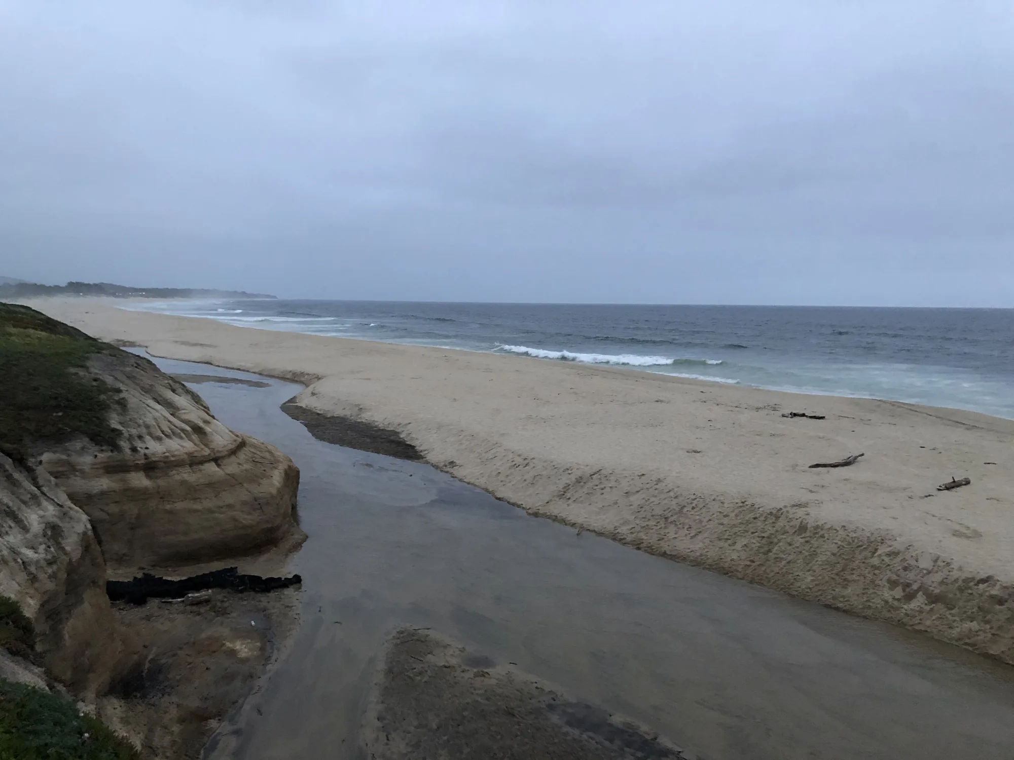
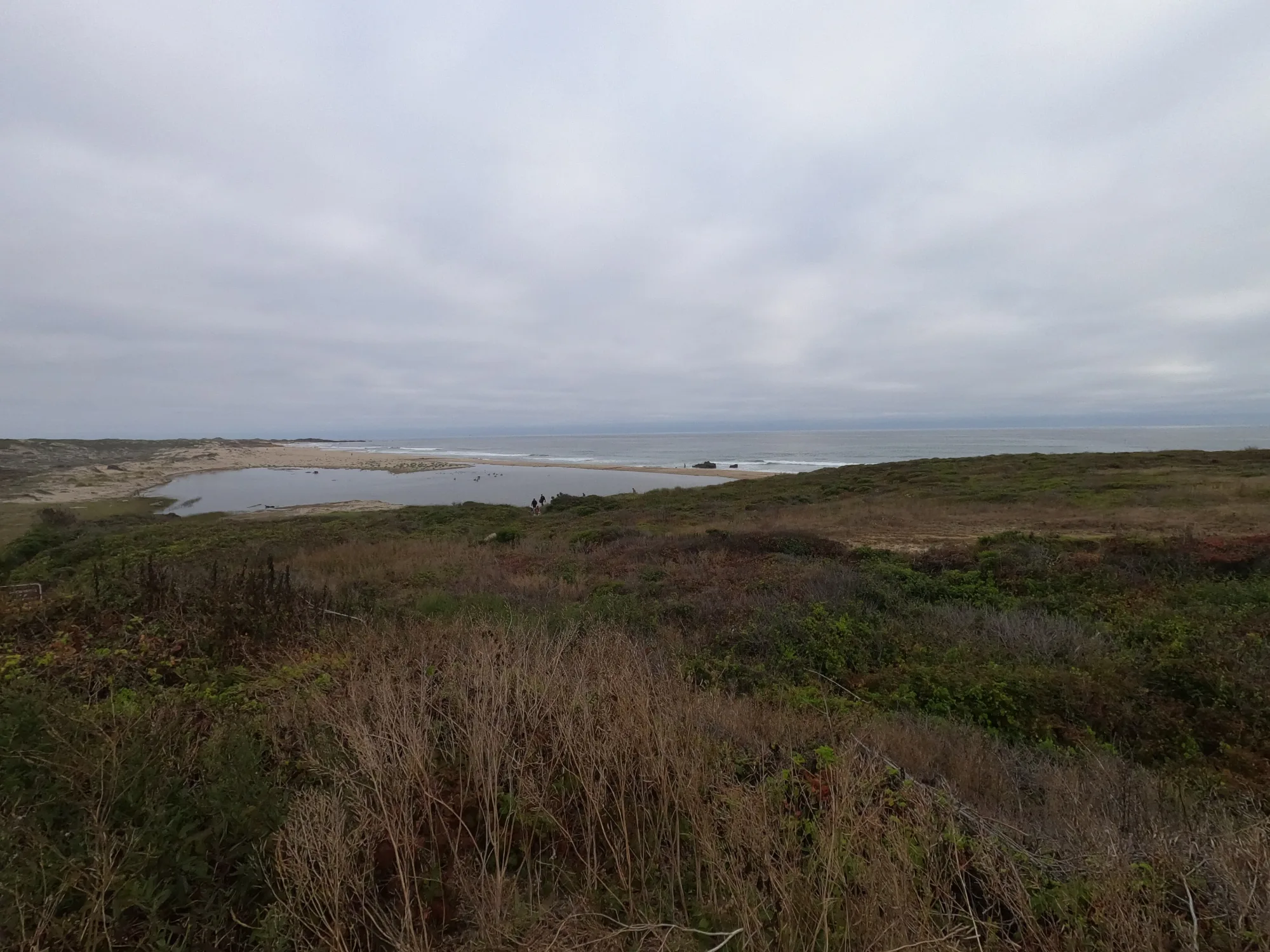
Photo: Wikimedia Commons / Brocken Inaglory