
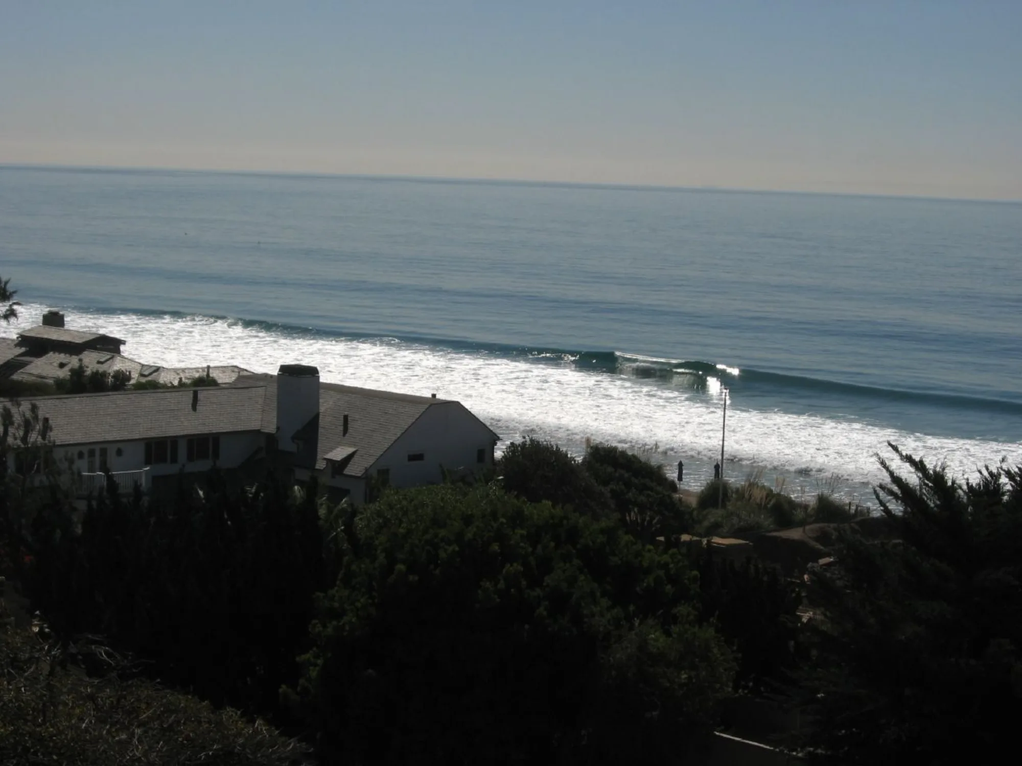
Latigo Beach
A Malibu PCH beach pocket near Latigo—limited parking, coastal views, and typical cold Southern California surf conditions.
Interactive map loading… View on OpenStreetMap
34.0305, -118.7750 · OSM
- Type
- beach
- Region
- Los Angeles County
- Season
- Best April, May, June
- Access
- Near LAX
About Latigo Beach
A Malibu PCH beach pocket near Latigo—limited parking, coastal views, and typical cold Southern California surf conditions.
Keep plans flexible if parking fails at Latigo. Let Highway 1 structure the day with two beach options max. Lodging and dining context on the full Malibu guide. Use the National Weather Service forecast on this page before you commit.
Know before you go
- Parking: Extremely limited on PCH.
- Access: Public paths only—no private shortcuts.
- Surf: Respect rip currents and local surfers.
- Facilities: Minimal at small pullouts.
- Privacy: Keep noise down near residences.
- Leave no trace: Pack out all trash.
- Forecast: Use the NWS panel on this page.
How to get to Latigo Beach
Latigo Beach sits in Malibu along Pacific Coast Highway. Driving is essentially required; scarce pullouts and careful merges on Highway 1 define the logistics. Confirm signed public access—Malibu shoreline rights-of-way can be easy to miss.
- Approach on Pacific Coast Highway From Santa Monica, head northwest on Highway 1 through Malibu. From the west, continue southeast toward Latigo shoreline markers.
- Use only legal parking Do not stop in traffic lanes or block private drives. Read curb and lot rules carefully.
- Confirm public access paths Follow posted easements and stair/path signs. If access is unclear or closed, choose another Malibu public beach.
- Keep a backup stop When Latigo is full, continue to another signed Malibu access rather than circling for an hour.
Plan your visit
Best months
April, May, June, September
Typically the most comfortable months for weather and crowds.
Nearest airport
Los Angeles International (LAX)
About 50 minutes by car, depending on traffic.
Highlight
Beach · Malibu · Pacific Coast Highway
A Malibu PCH beach pocket near Latigo—limited parking, coastal views, and typical cold Southern California surf conditions.
Plan Latigo as a short Malibu sand stop inside a larger PCH day—not a full-service boardwalk destination.
Best time: Weekday mornings and shoulder seasons. Weekend late mornings are the hardest for parking.
Who it’s for: Scenic beachgoers already touring Malibu. Visitors wanting restrooms, rentals, and dense food options should prioritize Santa Monica or larger lifeguarded strands.
Pairing: Combine with Malibu, Malibu beaches, nearby Escondido Beach, or Big Rock Beach.
Swimming: Rip currents and cold water are common—choose lifeguarded areas when swimming is the goal.
Name notes: Searches for Latigo Shores / Latigo Beach Malibu refer to this Malibu coastal pocket corridor, not an inland destination.
Traffic tip: Westbound evening PCH glare plus congestion is rough—leave earlier than maps suggest.
Practical tip: Do bathroom and snack stops in town before committing to a small PCH pullout.
Closing tip: Pick one primary Malibu pocket and one backup. Recheck the live forecast if wind or swell jumps during your drive.
Practical closing tip for Latigo Beach: Build a flexible day with one primary beach goal and one backup within the same region. Coastal California rewards patience with parking, fog, and surf more than rigid checklists. Recheck the live forecast if wind or swell jumps during your drive.
Practical closing tip for Latigo Beach: Build a flexible day with one primary beach goal and one backup within the same region. Coastal California rewards patience with parking, fog, and surf more than rigid checklists. Recheck the live forecast if wind or swell jumps during your drive.
Latigo Beach: FAQ
Where is Latigo Beach in Malibu?
Latigo Beach is a coastal access area in Malibu, Los Angeles County, along Pacific Coast Highway near the Latigo shoreline corridor.
Is there parking at Latigo Beach?
Parking is limited and competitive. Arrive early, use only legal spaces, and have another Malibu beach as backup.
Can you swim at Latigo Beach?
Swimming can be possible when conditions and lifeguard guidance allow, but Malibu beaches frequently have rip currents and cold water.
How do I get to Latigo Beach?
Drive Pacific Coast Highway through Malibu and use marked public access. Transit is generally impractical for this stop.
Is Latigo Beach public?
Use only signed public access and never enter private property. If access is unclear, choose another clearly public Malibu beach.
What is Latigo Shores?
Latigo Shores refers to the nearby Malibu coastal residential/shoreline area associated with the Latigo name—visitor planning still centers on legal public beach access and PCH parking.
What nearby beaches should I also consider?
Other Malibu public beaches and Santa Monica Bay strands offer more parking and facilities when Latigo access is full.
More places near Los Angeles County
Nearby destinations will appear as more place pages are published.
Nearby beaches

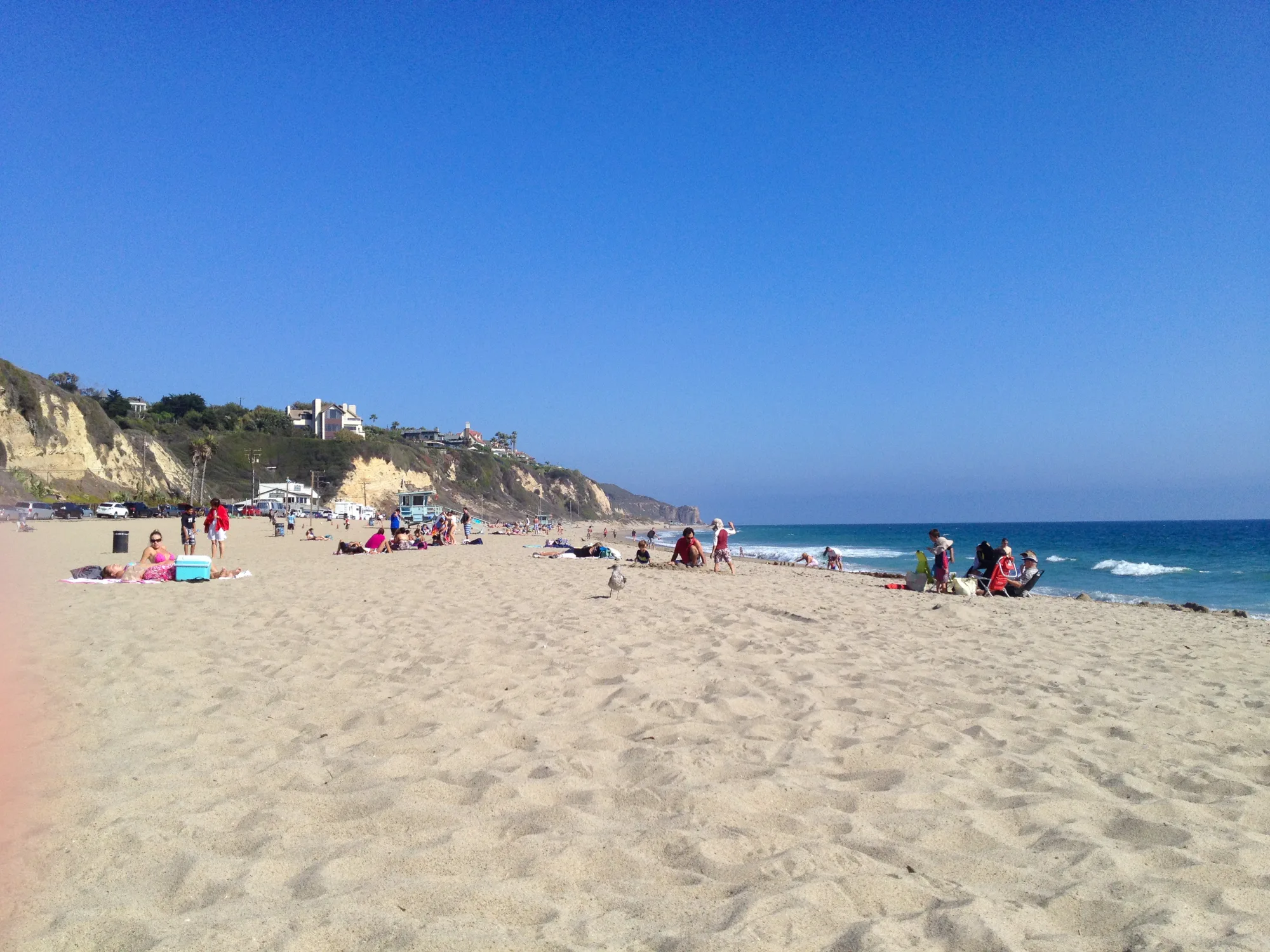
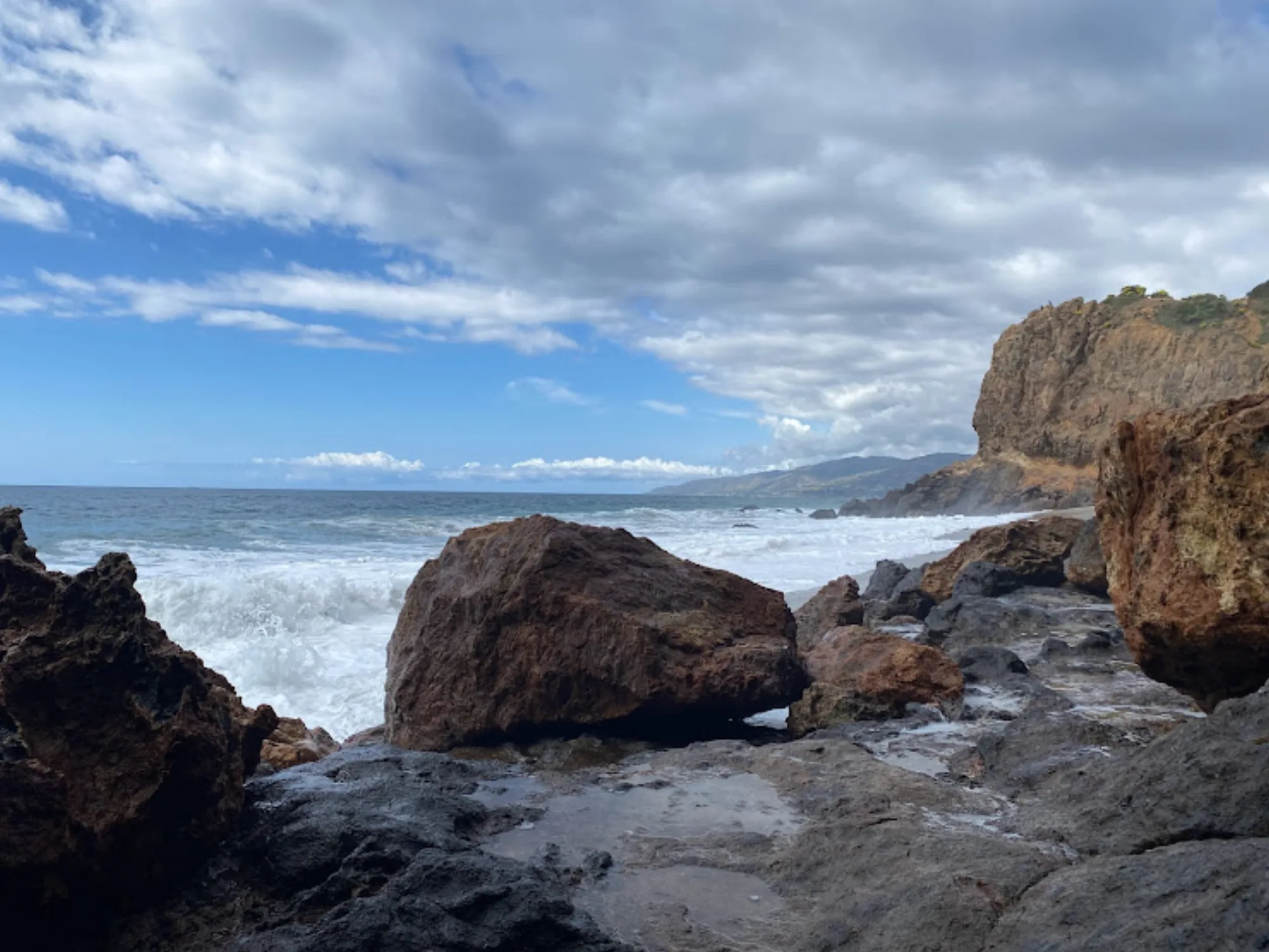

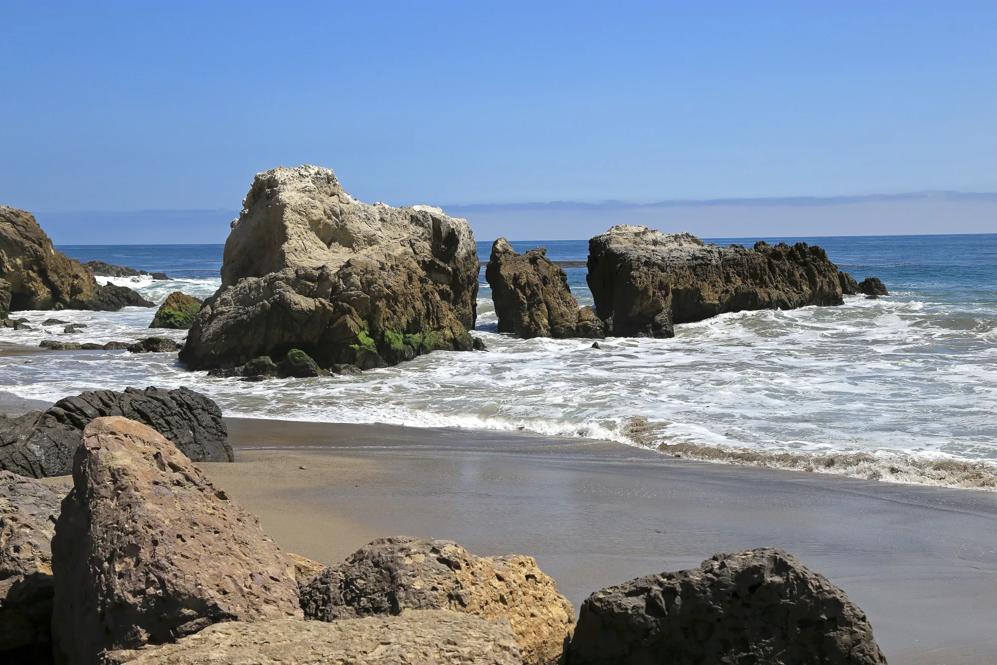
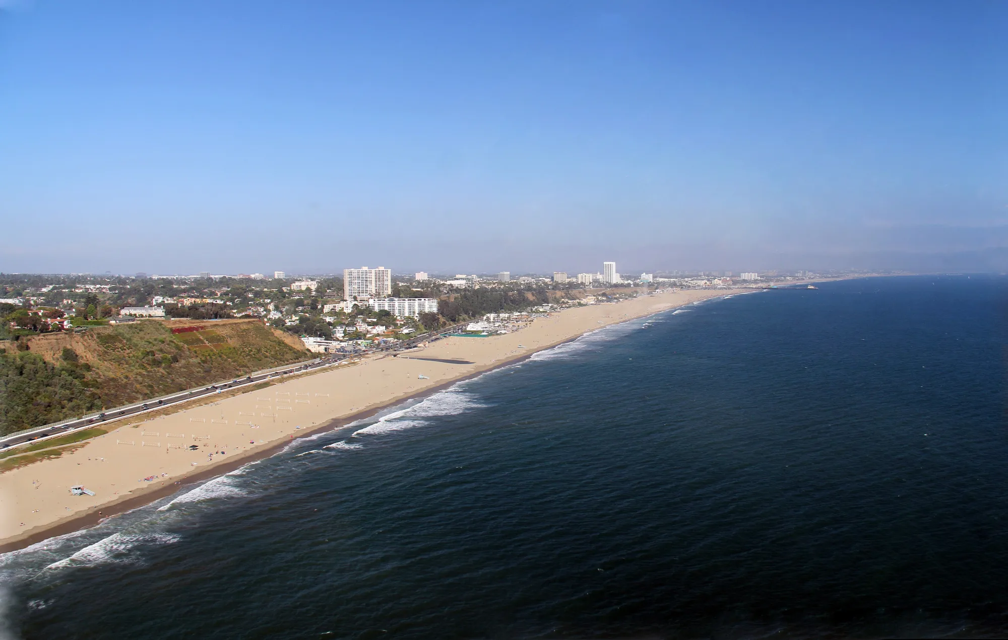
Photo: Wikimedia Commons