

Malibu
A Pacific Coast Highway strip of beaches, canyons, and surf breaks northwest of Santa Monica—iconic Southern California shoreline without a single downtown core.
Interactive map loading… View on OpenStreetMap
34.0259, -118.7798 · OSM
- Type
- city
- Region
- Los Angeles County
- Season
- Best April, May, June
- Access
- Near LAX
About Malibu
A Pacific Coast Highway strip of beaches, canyons, and surf breaks northwest of Santa Monica—iconic Southern California shoreline without a single downtown core.
Choose a single Malibu shoreline access and enjoy it—parking decides the winner. Make Highway 1 the spine of the day with flexible backups. Named Malibu accesses for travelers chasing specific shoreline keywords. Farther northwest near the LA–Ventura line for surf energy and views.
Know before you go
- Parking: The #1 constraint—arrive early or pivot.
- Public access only: Never use private driveways as beach shortcuts.
- PCH safety: No sudden stops in the travel lane.
- Cold water / rips: Be conservative about swimming.
- Facilities: Limited at small pockets—plan ahead.
- One primary stop: Stacking too many Malibu names ruins the day.
- Live weather: Check the NWS forecast panel before you leave.
How to get to Malibu
Malibu stretches along Pacific Coast Highway (Highway 1) northwest of Santa Monica. Almost every visit is a car trip: scarce beach parking, canyon connectors, and PCH congestion shape the day more than any “town center.”
LAX is the usual gateway (often 45–90 minutes depending on traffic). Once on the coast, pick one primary beach and one backup—stacking five named pockets on a rigid timetable rarely works.
- Drive PCH with patience From Santa Monica, head northwest on Highway 1. Do not stop in travel lanes; only use legal pullouts and signed lots.
- Arrive early for beach parking Weekend late mornings fill every safe turnout. Midweek is dramatically easier.
- Use canyon connectors when maps show PCH gridlock Inland returns via canyons can beat westbound evening glare and stop-and-go on the highway.
- Confirm public beach access Malibu is a mosaic of easements and private land—follow posted public paths only.
- Plan bathroom and food stops in advance Small PCH pullouts rarely have full facilities. Use town stops before you commit to a pocket beach.
Plan your visit
Best months
April, May, June, September
Typically the most comfortable months for weather and crowds.
Nearest airport
Los Angeles International (LAX)
About 45 minutes by car, depending on traffic.
Highlight
Beach · Pacific Coast Highway · Surf
A Pacific Coast Highway strip of beaches, canyons, and surf breaks northwest of Santa Monica—iconic Southern California shoreline without a single downtown core.
Plan Malibu as a half-day to full-day coastal block, not a quick sidebar between downtown LA museums. Give yourself parking buffer and fog flexibility.
Things to do pacing: Morning—one public beach (for example Escondido Beach, Big Rock, Latigo, or a wider lifeguarded strand). Midday—canyon viewpoint or slow PCH scenic drive. Afternoon—second beach only if parking still works, or retreat to Santa Monica / Venice for food and facilities.
Best time: Spring and early fall often feel clearer than deep summer marine-layer mornings. Winter can bring larger surf—beautiful to watch, riskier to enter.
Who it’s for: Beach day-trippers, surf spectators, scenic drivers, and photographers. Travelers wanting a walkable downtown should base in Santa Monica and treat Malibu as the coast extension.
Budget tips: Parking scarcity is the real cost—paid lots beat tickets. Pack water and snacks; beach concessions are inconsistent at small pullouts.
Surf & swim: Cold water and rip currents are common. Swim near lifeguards when possible; many named “beaches” are better as short sand/view stops than full swim days.
Nearby pairings: Santa Monica, Venice Beach, and County Line farther northwest toward the Ventura line.
Weather: Use the live National Weather Service panel on this page before long PCH days—wind and fog change the experience quickly.
Malibu: FAQ
How far is Malibu from Los Angeles?
Central Malibu beaches are roughly 30 miles northwest of downtown Los Angeles via canyon and freeway links, or longer if you stay on Pacific Coast Highway from the Westside. Door-to-door time is often 45–90 minutes depending on traffic.
Do I need a car to visit Malibu?
Yes for most travelers. Public transit options are limited along the coastal strip, and beaches are spread out. Rideshares work for a single beach drop-off but get expensive for hopping between spots.
What is the closest airport to Malibu?
Los Angeles International (LAX) is the practical choice for most visitors. Hollywood Burbank (BUR) can work if you are already north of downtown, but LAX remains the usual arrival point.
Is Malibu good for swimming?
Many beaches are suitable when lifeguards are on duty and conditions are calm, but rip currents and heavy shorebreak appear often. Choose marked swim areas, ask lifeguards about the day’s hazards, and never turn your back on the waves.
When is the best time to visit Malibu?
April–June and September–October often bring comfortable temperatures and enjoyable beach days. Midsummer weekends are busiest; winter can be beautiful for scenic drives but cooler for long swims.
Can you visit Malibu as a day trip from Los Angeles?
Yes—especially from Santa Monica, Venice, or West LA. Leave early, pick one beach or the Getty Villa (not everything), and plan your return before evening PCH congestion when possible.
Is the Getty Villa in Malibu?
The Getty Villa sits on the Pacific Coast Highway in the Pacific Palisades / Malibu edge area and is commonly paired with a Malibu beach day. Timed tickets are often required—check current entry rules before you go.
Where should I stay if I want Malibu beaches?
Staying in Malibu maximizes morning beach access but costs more. Santa Monica and other Westside neighborhoods are popular bases for day trips if you want denser dining and transit links back toward LAX.
How many days do you need in Malibu?
Two days cover highlights without rushing; add a third if you are pairing Malibu with neighboring Los Angeles County towns or a long outdoor day.
What is Malibu known for?
Malibu is known for beaches, pacific coast highway, surfing, los angeles county within Los Angeles County—use this page’s sections for how to reach airports, trails, and dining clusters.
What should visitors expect in Malibu this fall?
September falls in the stronger window for Malibu (April, May, June, September). Expect typical fall conditions—pack layers, book popular lodging early for weekends, and check live National Weather Service forecasts on this page before outdoor plans. Crowds and rates are usually higher around holidays.
What are the best things to do in Malibu?
Pick one public beach access, drive a scenic PCH segment, and optionally add a canyon viewpoint. Keep food and lodging flexible—Santa Monica is often the easier evening base.
Do I need a car in Malibu?
Yes for practically every itinerary. Transit does not replace beach-to-beach flexibility on this linear coast.
Where should I park in Malibu?
Use signed public lots and legal curb spaces only. Arrive early; if full, continue to another public access instead of circling.
More places near Los Angeles County
Nearest beaches
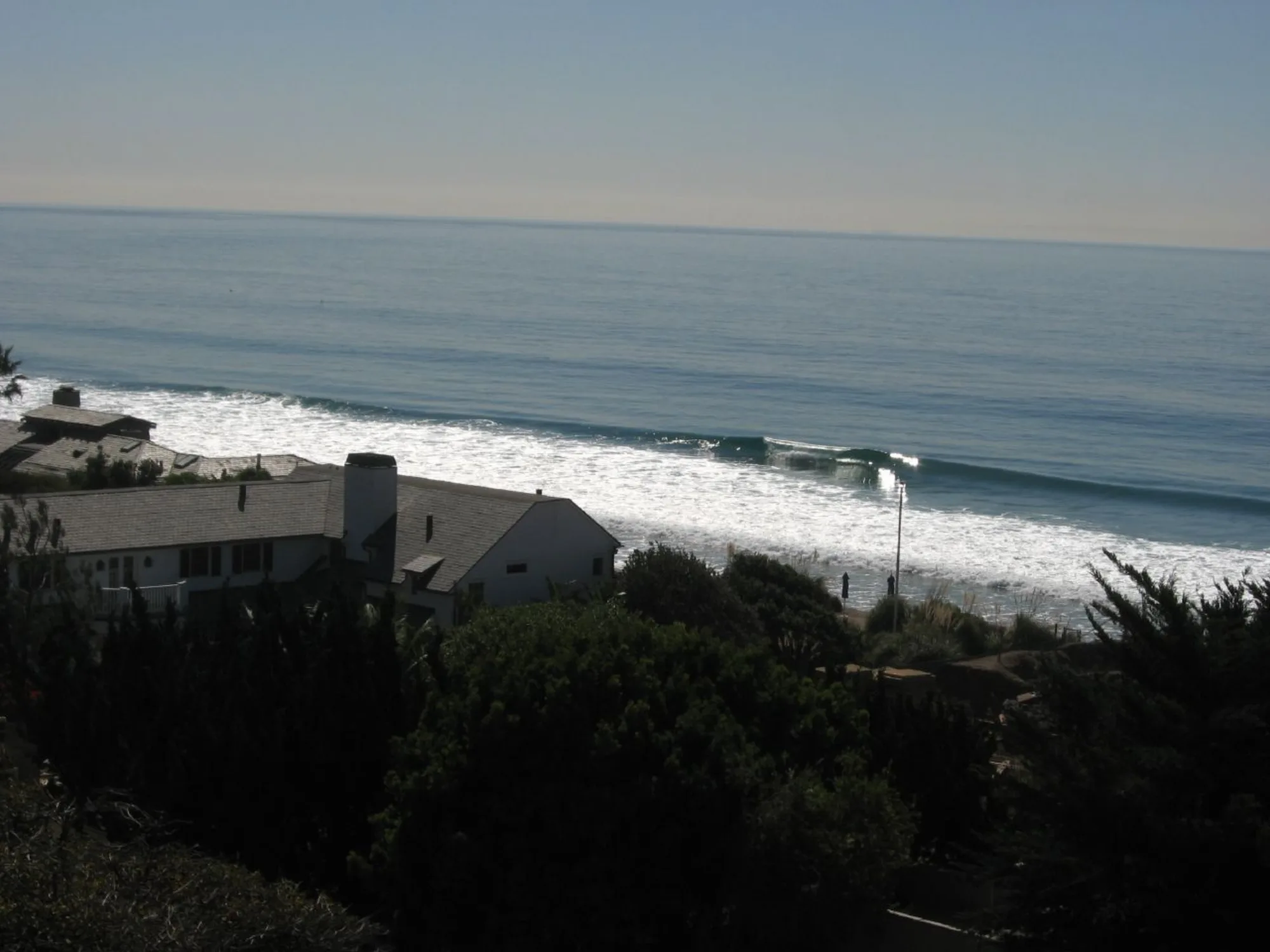
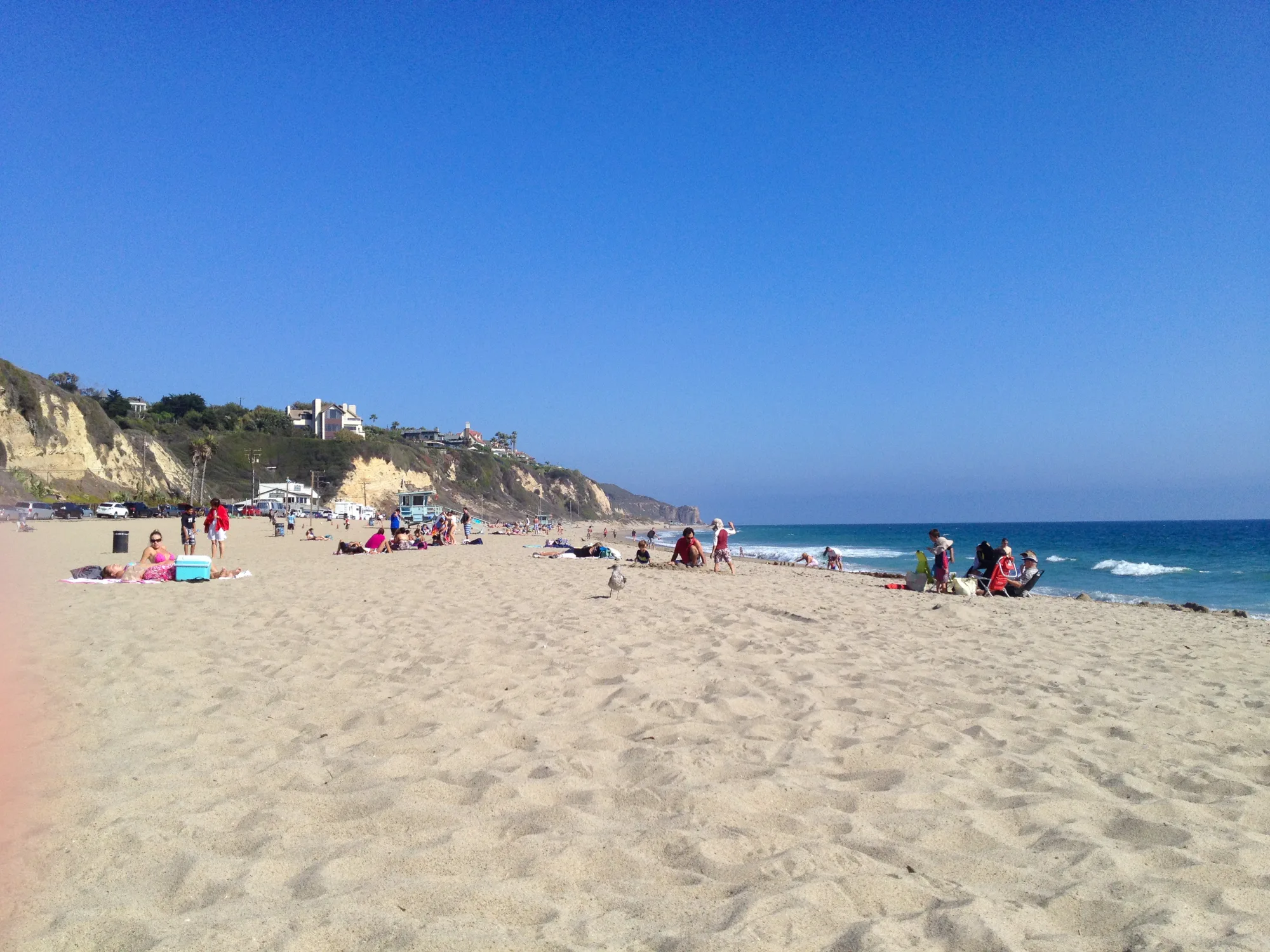

Photo: Wikimedia Commons / Erik Calonius