

Malibu
A Pacific Coast Highway strip of beaches, canyons, and surf breaks northwest of Santa Monica—iconic Southern California shoreline without a big-city core.
Interactive map loading… View on OpenStreetMap
34.0259, -118.7798 · OSM
- Type
- beach
- Region
- Los Angeles County
- Season
- Best April, May, June
- Access
- Near LAX
About Malibu
A Pacific Coast Highway strip of beaches, canyons, and surf breaks northwest of Santa Monica—iconic Southern California shoreline without a big-city core.
Pick a lifeguarded stretch for swimming and sun—classic Southern California sand with mountain backdrop views. Antiquities in a recreated Roman-inspired setting overlooking the Pacific, just east of central Malibu on PCH. The shoreline road itself is the experience—pullouts, pier views, and a link toward Santa Monica or farther northwest. Watch breaks from the sand or book a lesson with a reputable local school if you are new to Southern California waves.
Know before you go
- Shore access: Public access stairways between PCH mile markers reach Zuma, Surfrider, and Leo Carrillo stretches—watch for posted easement signs only.
- Swimming limits: Rip currents and shorebreak are routine—choose lifeguarded Zuma or Malibu Lagoon adjacent beaches for safer wading.
- Parking: Limited lot capacity on PCH; arrive early or park inland and hike legal easements—not private driveways.
- Water quality: Do not assume daily swim suitability—follow lifeguard guidance and posted advisories rather than guessing conditions.
- Forecasts: Use the live National Weather Service panel on this page for wind, fog, and storm timing before you commit to a long beach day.
- Wildlife: Keep distance from seals, sea lions, and nesting birds—fines and closures protect sensitive stretches.
How to get to Malibu
Malibu stretches along the Pacific Coast Highway (Highway 1) northwest of Santa Monica, with the Santa Monica Mountains rising just inland. Most visitors arrive by car from the Los Angeles basin.
Los Angeles International (LAX) is the first listed airport—about 50 minutes to the coast in typical traffic; add buffer for summer beach weekends.
Beach gear, chairs, and coolers are easiest with a car—transit works in some metro coast zones, but stair access and lot capacity still favor early arrival on sunny days in Malibu.
- Fly into LAX and drive northwest Los Angeles International is the usual gateway. Expect roughly 45–75 minutes to central Malibu beaches depending on traffic, time of day, and whether you take PCH the whole way or cut over via canyon routes.
- Follow Pacific Coast Highway (Highway 1) From Santa Monica, PCH hugs the coast into Malibu. This is the scenic default—beautiful but slow on sunny weekends when beach traffic stacks up.
- Use canyon connectors when PCH is jammed Routes such as Topanga Canyon or Malibu Canyon / Las Virgenes can bypass coastal congestion for inland approaches—check live maps before you commit.
- Plan parking before you pick a beach Many Malibu strand access points have limited lots or timed street parking. Arrive early on weekends or choose a stay within walking distance of the sand you care about.
Plan your visit
Best months
April, May, June, September
Typically the most comfortable months for weather and crowds.
Nearest airport
Los Angeles International (LAX)
About 50 minutes by car, depending on traffic.
Highlight
Beach · Coastal · Beaches
A Pacific Coast Highway strip of beaches, canyons, and surf breaks northwest of Santa Monica—iconic Southern California shoreline without a big-city core.
A full beach day works as a Los Angeles side trip; overnight stays suit travelers who want sunrise surf checks, canyon hikes, and dinner with an ocean view without fighting evening PCH traffic twice.
Best time: Late spring and early fall often combine warmer water trends with slightly thinner weekend crowds than midsummer. Winter brings bigger surf and greener hills—and a higher chance of rain or mud in the canyons.
Who it’s for: Beachgoers, surfers, scenic drivers, and anyone pairing Westside LA with a quieter coastal night. It is not a nightlife destination in the downtown sense.
Budget tips: Oceanfront lodging is premium; consider a Santa Monica or West LA base and a full Malibu day if rates are steep. Pack water, shade, and snacks—services thin out between beach clusters.
Beach day pacing: Plan one primary stretch of sand per half-day—parking and stair access eat time when you hop coves. Add a second beach only if you confirmed separate lots or transit links.
Shore access: Public access stairways between PCH mile markers reach Zuma, Surfrider, and Leo Carrillo stretches—watch for posted easement signs only.
Swimming and surf: Rip currents and shorebreak are routine—choose lifeguarded Zuma or Malibu Lagoon adjacent beaches for safer wading.
Parking: Limited lot capacity on PCH; arrive early or park inland and hike legal easements—not private driveways.
Seasonal rhythm: Coast stays cooler than valleys; Santa Ana fall winds warm the sand while fire weather may restrict canyon drives inland.
Who it’s for: Beachgoers pairing urban LA with a dedicated sand day—expect traffic on PCH and I-405 corridors.
Budget tips: Pack shade, water, and snacks—concession prices spike on busy pier weekends. Midweek mornings stretch free beach time without paid lot turnover stress.
For the broader town guide, see Malibu.
Malibu: FAQ
Is Malibu good for swimming?
Rip currents and shorebreak are routine—choose lifeguarded Zuma or Malibu Lagoon adjacent beaches for safer wading. Always obey lifeguard instructions and posted flags—never assume calm-looking water is safe.
Do I need to pay for parking at Malibu?
Parking rules vary by lot and season near Malibu. Expect meters or paid lots near popular stretches on weekends; arrive early on sunny days.
How far is Malibu from Los Angeles?
Central Malibu beaches are roughly 30 miles northwest of downtown Los Angeles via canyon and freeway links, or longer if you stay on Pacific Coast Highway from the Westside. Door-to-door time is often 45–90 minutes depending on traffic.
Do I need a car to visit Malibu?
Yes for most travelers. Public transit options are limited along the coastal strip, and beaches are spread out. Rideshares work for a single beach drop-off but get expensive for hopping between spots.
What is the closest airport to Malibu?
Los Angeles International (LAX) is the practical choice for most visitors. Hollywood Burbank (BUR) can work if you are already north of downtown, but LAX remains the usual arrival point.
Is Malibu good for swimming?
Many beaches are suitable when lifeguards are on duty and conditions are calm, but rip currents and heavy shorebreak appear often. Choose marked swim areas, ask lifeguards about the day’s hazards, and never turn your back on the waves.
When is the best time to visit Malibu?
April–June and September–October often bring comfortable temperatures and enjoyable beach days. Midsummer weekends are busiest; winter can be beautiful for scenic drives but cooler for long swims.
Can you visit Malibu as a day trip from Los Angeles?
Yes—especially from Santa Monica, Venice, or West LA. Leave early, pick one beach or the Getty Villa (not everything), and plan your return before evening PCH congestion when possible.
What should visitors expect at Malibu beaches this fall?
Santa Ana winds dry the hills and groom surf—fire weather can close trails; beach days stay warm while canyons stay risky.
Which Malibu beach access points are public?
Public access stairways between PCH mile markers reach Zuma, Surfrider, and Leo Carrillo stretches—watch for posted easement signs only.
More places near Los Angeles County
Nearby beaches
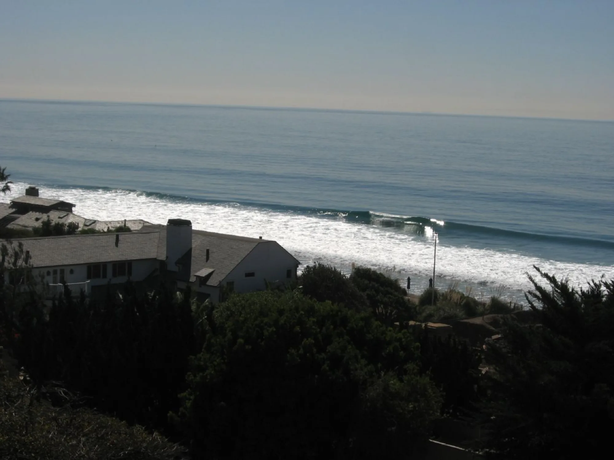
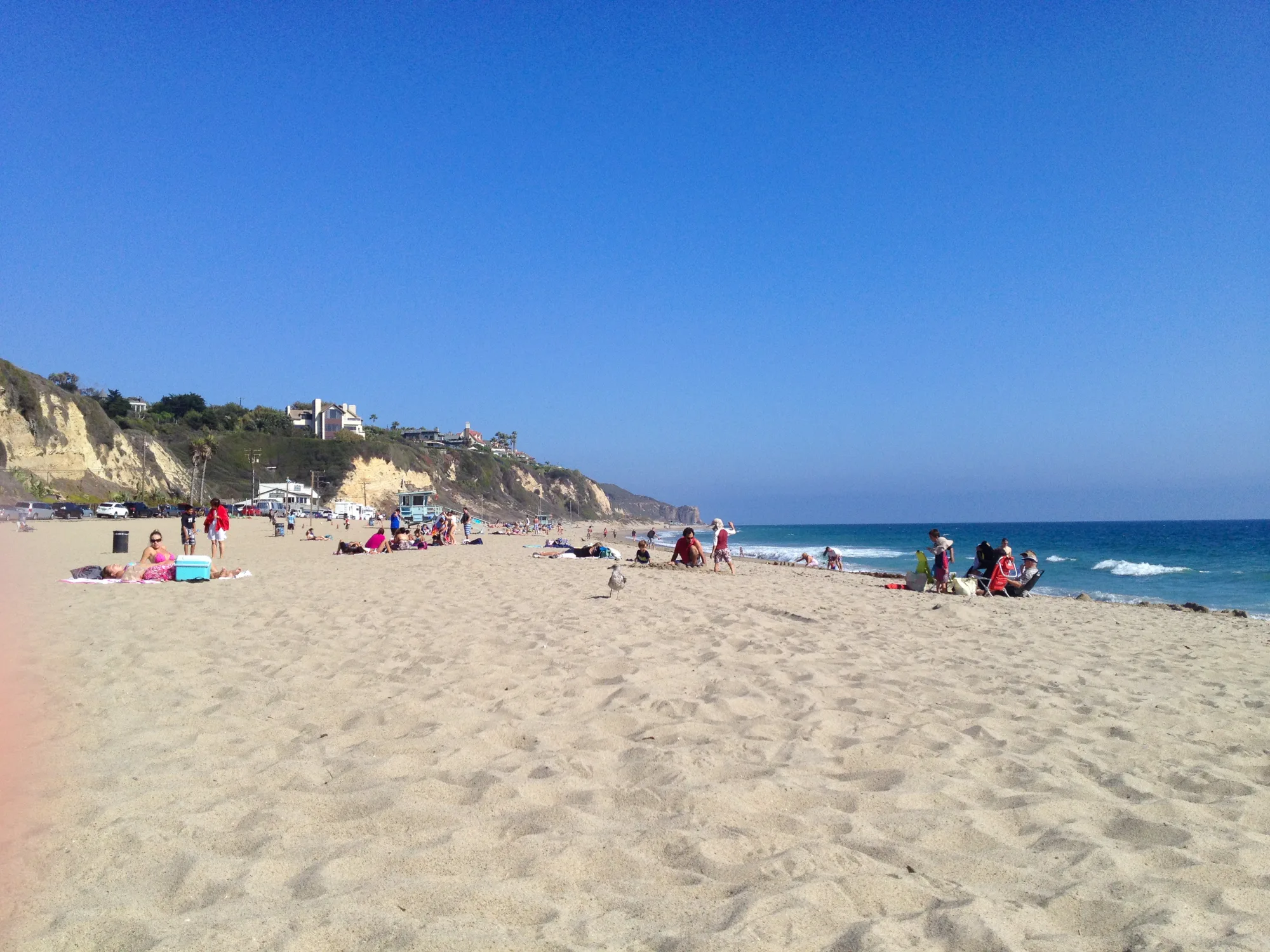

Photo: Wikimedia Commons / Erik Calonius