

Point Reyes
Marin’s wind-sculpted peninsula—Point Reyes National Seashore beaches, Tomales Bay oysters, tule elk on Tomales Point, and a cheese-shop village at the gateway.
Interactive map loading… View on OpenStreetMap
38.0178, -122.9913 · OSM
- Type
- city
- Region
- North Coast
- Season
- Best April, May, September
- Access
- Near SFO
About Point Reyes
Marin’s wind-sculpted peninsula—Point Reyes National Seashore beaches, Tomales Bay oysters, tule elk on Tomales Point, and a cheese-shop village at the gateway.
Hundreds of steps descend to a historic light and dramatic Pacific views when access is open—verify hours and wind closures. Seasonal wildflowers and elephant seal overlooks from cliff-top trails when rangers permit access. Allow extra time for parking, reservations, and seasonal crowds typical of North Coast destinations. Shuck-your-own farms and kayak launches on the sheltered bay side—reservations are common. Allow extra time for parking, reservations, and seasonal crowds typical of North Coast destinations. Redwood groves and creek walks near the visitor center—good foggy-day alternative to outer beaches. Allow extra time for parking, reservations, and seasonal crowds typical of North Coast destinations.
Know before you go
- Layers: Outer coast temperatures can sit in the 50s°F while inland Marin warms—pack windproof jackets.
- Road closures: Storms and maintenance shut Drake Blvd segments—check NPS road status before lighthouse plans.
- Wildlife: Keep distance from elephant seals and elk during breeding seasons—closures protect both animals and visitors.
- Oysters: Farms often book timed slots—reserve before driving to Marshall or Inverness.
- Tides: Some beach walks need low-tide windows—pair tide tables with ranger advice.
- Cell service: Spotty on outer coast—download offline maps at Bear Valley.
- Live weather: Use the National Weather Service forecast panel on this page before hikes, boating, or long coastal walks.
- Reservations: Popular restaurants, tastings, and tours often require advance booking on weekends and holidays.
How to get to Point Reyes
Point Reyes Station is the gateway hamlet on Highway 1; the national seashore spreads west on Sir Francis Drake Boulevard. Bay Area visitors usually drive from San Francisco or Oakland across the Richmond–San Rafael Bridge or via Highway 101 through Novato—allow 60–90 minutes to the village, longer to the lighthouse or Chimney Rock.
- Drive from SFO or OAK Rental cars are standard—transit reaches Marin but not remote Drake Blvd trailheads efficiently for a one-day seashore plan.
- Stop at Bear Valley Visitor Center Pick up maps, check trail closures, and plan tide-sensitive beach walks before heading to outer coast parking lots.
- Navigate Sir Francis Drake Boulevard The park road is narrow with cyclists and wildlife—storm damage sometimes closes sections; verify NPS alerts the morning you go.
- Arrive early on sunny weekends Popular lots at Lighthouse and Chimney Rock fill by mid-morning—have a backup beach or bay-side plan.
Plan your visit
Best months
April, May, September, October
Typically the most comfortable months for weather and crowds.
Nearest airport
San Francisco International Airport (SFO)
About 65 minutes by car, depending on traffic.
Highlight
National seashore · Drakes Bay · Hiking
Marin’s wind-sculpted peninsula—Point Reyes National Seashore beaches, Tomales Bay oysters, tule elk on Tomales Point, and a cheese-shop village at the gateway.
Plan one full day for a single coast highlight plus a Tomales Bay meal, or two days if you want lighthouse steps, elk overlooks, and a kayak or oyster farm visit without rushing Drake Blvd miles.
Coast rhythm: Morning fog often burns off by afternoon, but outer beaches stay cold and windy—treat sunshine in San Francisco as unreliable here. Spring wildflowers and elephant seal viewing windows draw crowds to Chimney Rock overlooks when rangers open trails.
Bay side: Tomales Bay offers calmer paddling and farm-to-table oysters—many vendors require reservations. Inverness and Marshall make good lunch anchors before or after seashore driving.
Who it’s for: Hikers, birders, oyster lovers, and Bay Area day-trippers seeking dairy-ranch scenery beside crashing surf—not resort nightlife.
Budget tips: Park entry is generally free; bring picnic supplies—village dining is limited and busy on weekends. NOAA tide station context on this page helps planning but does not replace on-site surf judgment.
Practical pacing: Most visitors budget two full days for Point Reyes—one for signature sights and one for a slower neighborhood or outdoor block without rushing between parking lots.
Regional context: Point Reyes anchors North Coast itineraries where national seashore, drakes bay, hiking, north bay show up in everyday planning. San Francisco International Airport (SFO) is the primary gateway listed here—budget roughly 65 minutes by road before traffic and stops.
Seasonal window: April, May, September, October often balance comfortable weather with event calendars—still pack layers because microclimates and elevation swings are common across California.
Who it suits: Road-trippers linking nearby towns, weekenders from major metros, and travelers who want a local base rather than only marquee attractions an hour away.
Point Reyes: FAQ
Is Point Reyes the same as Point Reyes Station?
Point Reyes Station is a small town east of the park; the national seashore covers the peninsula to the west.
How far is Point Reyes from San Francisco?
About 35–40 miles to the village—often 60–90 minutes by car depending on traffic and your park destination.
Do you need a reservation for Point Reyes?
The park generally does not require entry reservations, but parking areas and oyster farms can fill—check NPS and vendor sites.
Can you see elephant seals?
Yes seasonally near Chimney Rock and other overlooks—follow ranger guidance and closure signs.
Is the lighthouse open?
Hours and access vary with maintenance and weather—verify on the national seashore website before visiting.
What airport is closest?
San Francisco (SFO) and Oakland (OAK) are the usual Bay Area gateways.
Can you visit Point Reyes in one day?
Yes for one or two highlights from the Bay Area—two days fit lighthouse, bay oysters, and elk without rushing.
Are dogs allowed?
Rules vary by beach and trail—many sensitive areas prohibit pets; check NPS pet policies before you go.
How many days do you need in Point Reyes?
Two days cover highlights without rushing; add a third if you are pairing Point Reyes with neighboring North Coast towns or a long outdoor day.
What is Point Reyes known for?
Point Reyes is known for national seashore, drakes bay, hiking, north bay within North Coast—use this page’s sections for how to reach airports, trails, and dining clusters.
When is the best time to visit Point Reyes?
April, May, September, October are strong months on this page’s calendar—still check the live National Weather Service forecast before outdoor plans.
What should visitors expect in Point Reyes this fall?
September and October often bring clearer afternoons after morning fog—ideal for Chimney Rock walks when trails are open. Elk rut activity can increase wildlife viewing interest; keep respectful distance. Book oyster farms early for weekend slots, pack wind layers for lighthouse visits, and check the National Weather Service forecast on this page before outer coast drives.
More places near North Coast



Nearest beaches



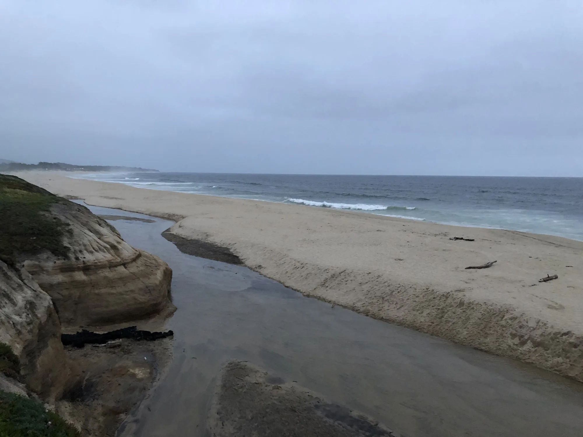

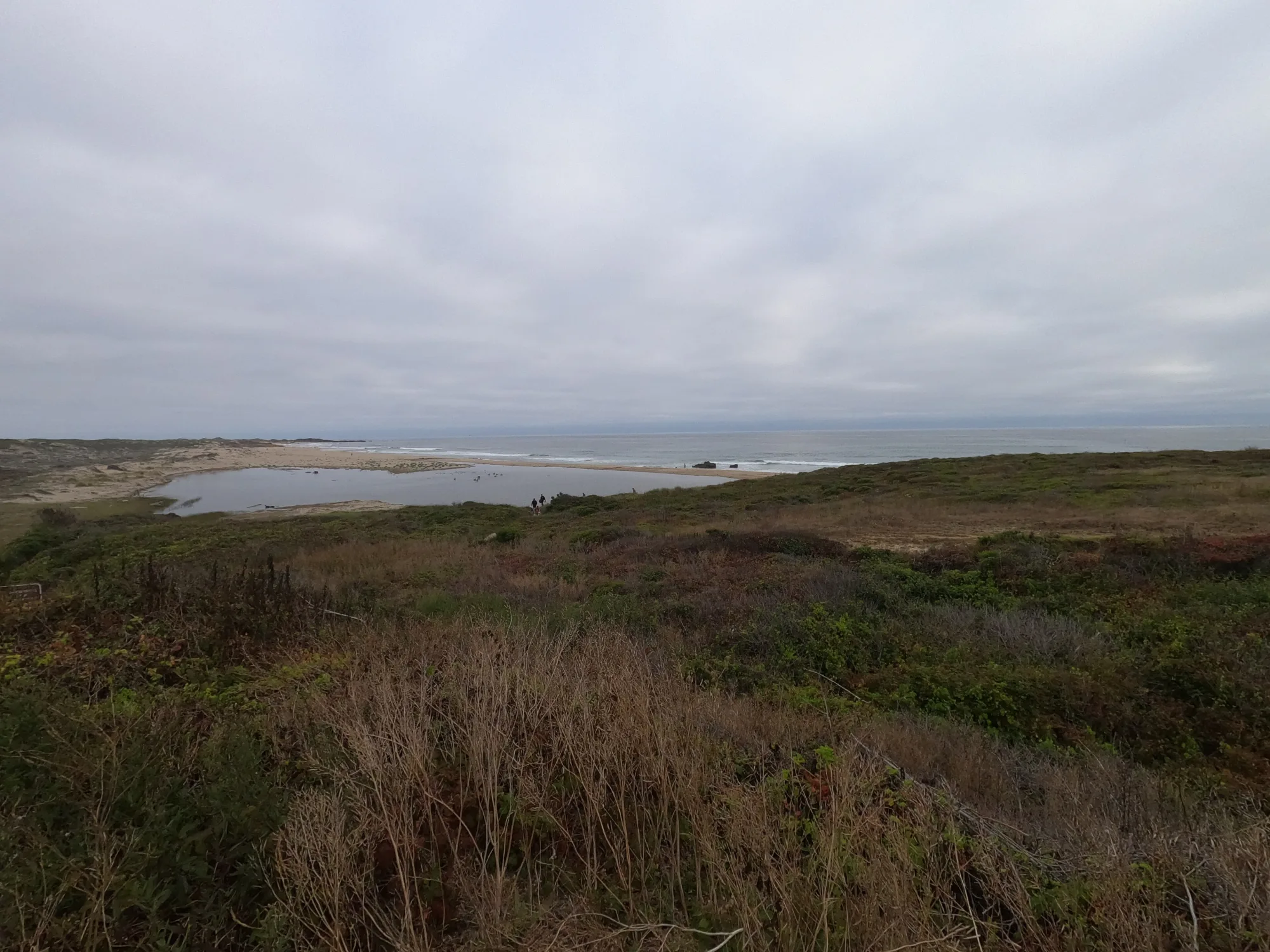
Photo: Wikimedia Commons