
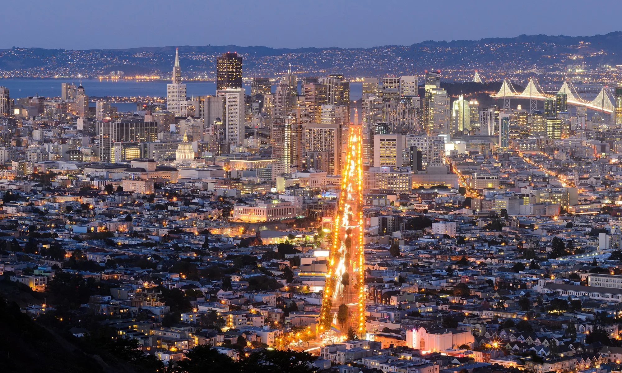
San Mateo
Peninsula comfort food and bayfront trails in a midsize city—walkable downtown, Coyote Point views, and Caltrain hops to San Francisco or Silicon Valley.
Interactive map loading… View on OpenStreetMap
37.5630, -122.3255 · OSM
- Type
- city
- Region
- San Francisco Bay Area
- Season
- Best April, May, September
- Access
- Near SFO
About San Mateo
Peninsula comfort food and bayfront trails in a midsize city—walkable downtown, Coyote Point views, and Caltrain hops to San Francisco or Silicon Valley.
Restored storefronts, ramen and bistro dining, and a compact scale that rewards an hour’s stroll between Caltrain and B Street. Bayfront trails, picnic lawns, and the CuriOdyssey wildlife center—windy afternoons with San Francisco skyline views. Small landscaped garden for quiet breaks—pair with playground time if traveling with kids. Major mall and cinema complex south of downtown—rainy-day default for Peninsula visitors.
Know before you go
- Fog and wind: Bay trails feel colder than inland blocks—jacket for Coyote Point afternoons.
- Parking: Downtown structures fill on market Saturdays—arrive before 10 a.m.
- Caltrain zone: Buy correct zone tickets to San Francisco to avoid fines.
- Coast detours: Highway 92 is scenic but curvy in places—no beach in city limits.
- Traffic: 101 stacks at commute hours toward SF and San Jose.
- Forecast: Check the NWS panel on this page before planning bay kayaking or coast sunsets.
How to get to San Mateo
San Mateo rests on the Bayside mid-Peninsula between San Francisco and San Jose, bisected by Highway 101 and served by Caltrain’s local stop downtown. San Francisco International (SFO) is about 15 minutes north; Oakland (OAK) crosses the bay via 92 or the San Mateo Bridge. SamTrans buses link hills neighborhoods, but coast and redwood detours still favor driving.
- Fly into SFO SFO is closest—BART does not serve San Mateo directly; rental cars or rideshares use 101 or surface streets.
- Ride Caltrain for SF days Weekday express and weekend locals reach San Francisco in about 30–40 minutes—park near the San Mateo station.
- Explore downtown on foot B Street and 3rd Avenue cluster restaurants, the historical association museum, and weekend farmers market stalls.
- Reach the coast via Highway 92 Half Moon Bay and Pacific beaches sit 20–30 minutes west—fog and wind common afternoons.
Plan your visit
Best months
April, May, September, October
Typically the most comfortable months for weather and crowds.
Nearest airport
San Francisco International Airport (SFO)
About 11 minutes by car, depending on traffic.
Highlight
Peninsula · Bayfront · Caltrain
Peninsula comfort food and bayfront trails in a midsize city—walkable downtown, Coyote Point views, and Caltrain hops to San Francisco or Silicon Valley.
Budget one to two nights as a Peninsula base, or a long lunch-and-walk day between airport runs and San Francisco meetings. Families often pair Coyote Point with a downtown dinner.
Weekend rhythm: Morning bay trail cycling, afternoon tea or shopping on B Street, early Caltrain to San Francisco for theater nights.
Food rhythm: Central American and Asian communities fuel strip-mall gems beyond downtown—research specific addresses rather than wandering blindly.
Who it’s for: Travelers wanting calmer lodging than downtown SF, airport proximity, and easy freeway access to Palo Alto or Burlingame.
Budget tips: Hotel rates often beat San Francisco peaks; pack layers for bay wind on Coyote Point.
San Mateo: FAQ
Why stay in San Mateo?
SFO access, Caltrain to San Francisco, walkable downtown dining, and often lower hotel rates than the city.
How far is San Mateo from San Francisco?
About 20 miles—30–50 minutes by car or roughly 30–40 minutes on Caltrain.
What airport is closest?
San Francisco International (SFO) is the usual choice; OAK is across the bay.
Are there beaches in San Mateo?
The city is on the bay, not the open ocean. Pacific beaches near Half Moon Bay are 20–30 minutes west.
Is downtown walkable?
Yes for a few blocks around B Street; broader errands still need a car or bus.
What to do with kids?
CuriOdyssey, Central Park playgrounds, and short bay trails—plus Caltrain novelty rides.
How is the food scene?
Downtown bistros plus diverse strip-mall kitchens—search specific cuisines rather than expecting one waterfront strip.
When is farmers market?
Saturday morning markets draw locals—go early for parking near downtown.
Can you visit Silicon Valley from here?
Yes—Palo Alto and Redwood City are short 101 drives south.
What should visitors expect in San Mateo this fall?
September often brings warm inland lunch hours with cool bay breezes by sunset at Coyote Point. Rain usually arrives later in fall—good for museum-heavy San Francisco days via Caltrain. Check the National Weather Service forecast on this page before coast drives on Highway 92.
More places near San Francisco Bay Area



Nearest beaches


Photo: Wikimedia Commons