

Pacifica
Foggy San Mateo County coast south of San Francisco—Linda Mar and Rockaway surf, bluff trails, taco stops, and Pacific air without crossing the Golden Gate.
Interactive map loading… View on OpenStreetMap
37.6138, -122.4869 · OSM
- Type
- city
- Region
- San Francisco Bay Area
- Season
- Best September, October, April
- Access
- Near SFO
About Pacifica
Foggy San Mateo County coast south of San Francisco—Linda Mar and Rockaway surf, bluff trails, taco stops, and Pacific air without crossing the Golden Gate.
Wide crescent for surf watching and beach time when lifeguards patrol. Cliff-backed strand with café energy above the break. Bluff wildflowers and whale-watch perches in GGNRA. Cross-peninsula views when fog lifts.
Know before you go
- Rip currents: Swim only where conditions and lifeguards allow.
- Fog: Summer afternoons may never clear—bring layers.
- Parking: Linda Mar fills on sunny weekends.
- Cliff edges: Stay back after storms.
- Pier status: Confirm before fishing plans.
- Live weather: Check the NWS forecast panel before outdoor plans.
How to get to Pacifica
Pacifica sits on Highway 1 about 15 miles south of San Francisco. SFO is often closer than downtown SF traffic suggests. Fog, surf, and limited coastal parking shape the day more than fancy itineraries.
- Drive Highway 1 or connect from I-280 Use headlights in marine layer and watch for cyclists.
- Arrive early for Linda Mar / Rockaway parking Sunny Saturday lots fill before late morning.
- Confirm Pacifica Pier status Structural closures have been multi-year—verify before fishing plans.
- Dress for fog even in July Wetsuits and layers are normal; postcard sunshine is not guaranteed.
- Have a Half Moon Bay backup If Pacifica lots are jammed, continue south rather than circling endlessly.
Plan your visit
Best months
September, October, April, May
Typically the most comfortable months for weather and crowds.
Nearest airport
San Francisco International (SFO)
About 15 minutes by car, depending on traffic.
Highlight
Pacifica · San Mateo coast · Surf
Foggy San Mateo County coast south of San Francisco—Linda Mar and Rockaway surf, bluff trails, taco stops, and Pacific air without crossing the Golden Gate.
Plan Pacifica as a beach + trail day trip from San Francisco or a quiet coastal overnight before Half Moon Bay.
Things to do pacing: Morning—Linda Mar or Rockaway surf check / beach walk. Midday—taco or bakery stop in fog. Afternoon—Mori Point or Sweeney Ridge trail. Evening—return north or continue south on Highway 1.
Best time: September–October often brings clearer mornings; spring wildflowers reward ridge hikes. Summer is surf-and-fog season.
Who it’s for: SF day-trippers, beginner-friendly surf watchers, trail runners, and travelers who want ocean without Marin bridge logistics.
Surf reality: Cold water year-round. Rent wetsuits and respect rip currents.
Pairing: San Francisco, Roosevelt Beach / Half Moon Bay corridor, and Highway 1 Classic.
Weather: Use the live National Weather Service panel before bluff hikes and swim decisions.
Pacifica: FAQ
How far is Pacifica from San Francisco?
About 15 miles—30–45 minutes depending on traffic. Hours and access can shift seasonally—confirm details the week you travel.
What is Pacifica known for?
Surf beaches, fog, and coastal trails near San Francisco. Hours and access can shift seasonally—confirm details the week you travel.
Is the Pacifica Pier open?
Status has changed with structural repairs—verify locally before visiting. Hours and access can shift seasonally—confirm details the week you travel.
What airport is closest?
San Francisco (SFO). Hours and access can shift seasonally—confirm details the week you travel.
Is Pacifica good for surfing?
Yes for beginners at Linda Mar—wear wetsuits year-round. Hours and access can shift seasonally—confirm details the week you travel.
How many days do you need?
One day from SF; two if hiking multiple ridge trails. Hours and access can shift seasonally—confirm details the week you travel.
When is the best time?
Fall often brings clearer afternoons than summer fog. Hours and access can shift seasonally—confirm details the week you travel.
Is Pacifica family-friendly?
Beach days work with lifeguard hours—cold water limits long swims. Hours and access can shift seasonally—confirm details the week you travel.
What should visitors expect in Pacifica this fall?
September can bring the year’s clearest Pacifica afternoons—still pack fleece for evening bluff walks. Check the National Weather Service forecast on this page before surf sessions; south swells increase into fall. Midweek visits often mean easier parking and shorter lines at popular trailheads, tasting rooms, and harbor ticket windows.
What are the best things to do in Pacifica?
Surf or watch Linda Mar and Rockaway, hike Mori Point or Sweeney Ridge, eat a foggy taco stop, and continue to Half Moon Bay if you want more coast.
Is Pacifica worth visiting?
Yes if you want an easy San Mateo coast day from SF—surf, trails, and Pacific air without Marin logistics. It is foggy and cold-water; it is not a tropical beach resort.
Is Pacifica good for beginners surfing?
Linda Mar is popular with learners when conditions are friendly, but cold water and rip currents remain real. Take a lesson and follow lifeguard guidance.
What airport is closest to Pacifica?
SFO is usually the closest major airport—often about 15–25 minutes depending on traffic.
More places near San Francisco Bay Area


Nearest beaches


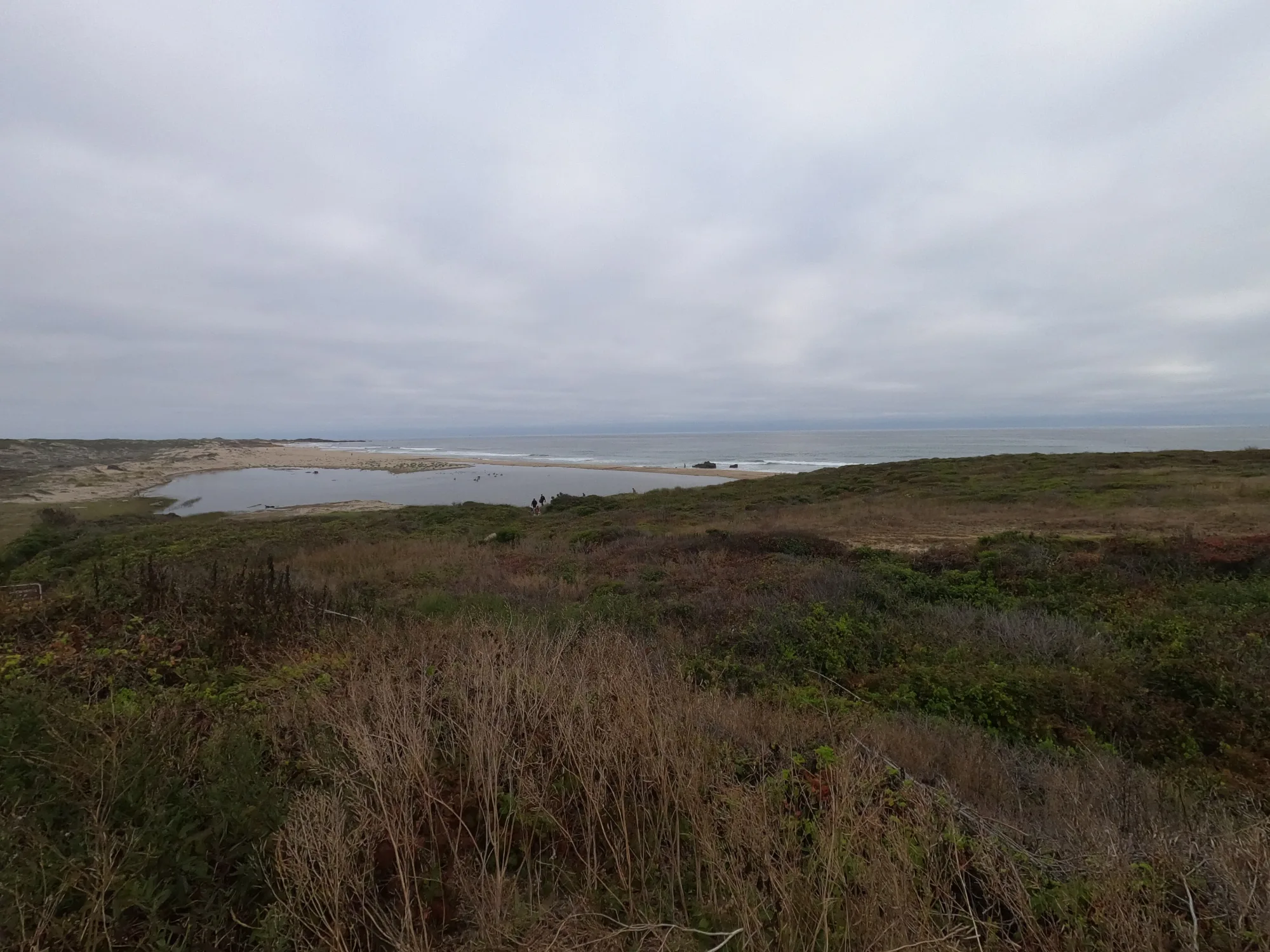
Photo: Wikimedia Commons / Brocken Inaglory